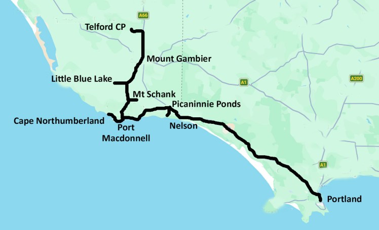
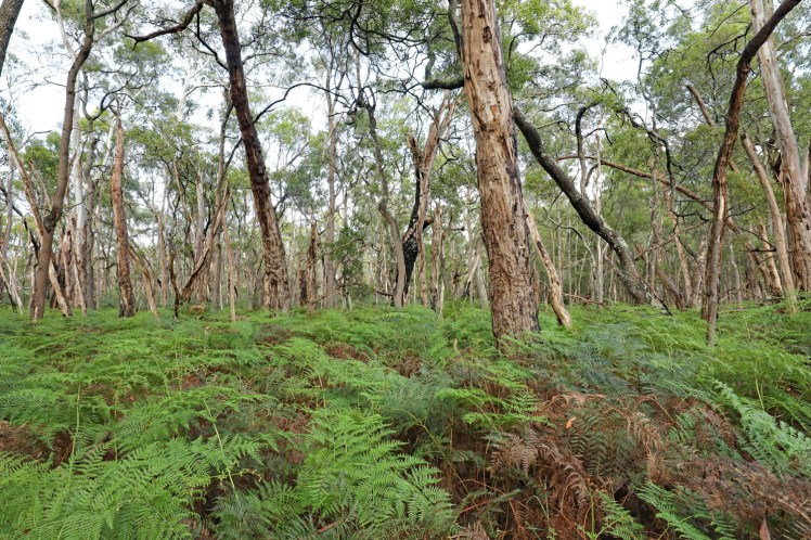
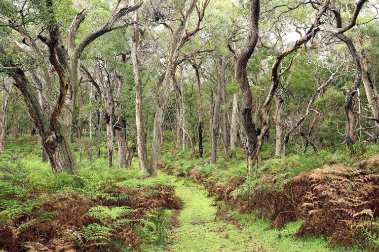
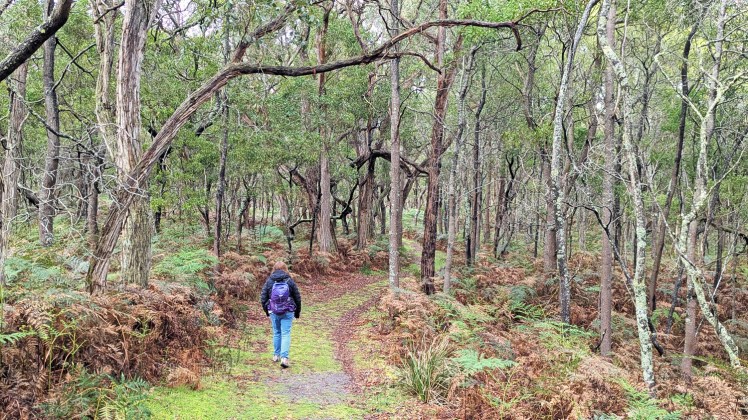
Telford Scrub Conservation Park protects remnant native vegetation in a region that is now mostly extensive pine plantations and dairy farms. A track meanders through a swamp gum woodland with an understory of austral bracken fern …
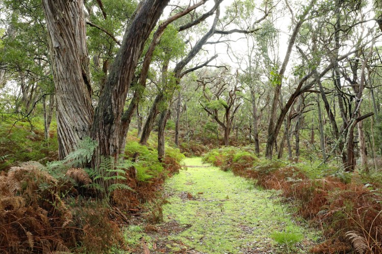
…. before continuing north over vegetated sand ridges through a brown stringybark open forest.
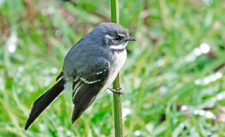
Grey fantail on a bracken stem
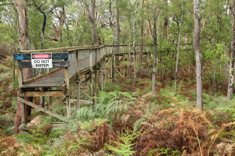
The park’s website opening sentence is, “Take a walk along the forest canopy boardwalk to experience the remaining native forest within Telford Scrub Conservation Park.” The boardwalk looks like it has been been closed for a number of years with the alternative detour pathway (as pictured in the stringybark image above) looking well-trodden.
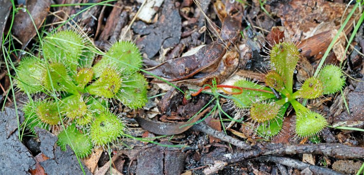
Drosera – an insectivorous plant
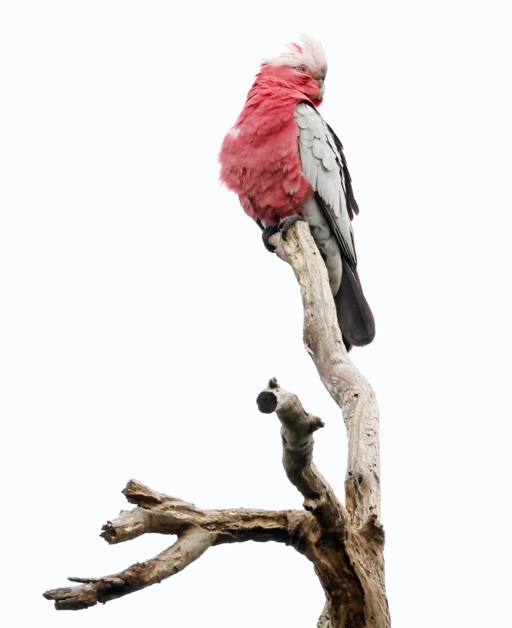
Galah
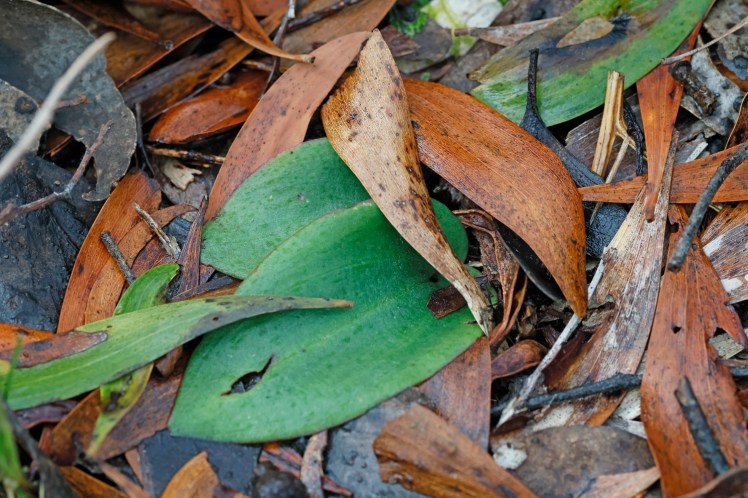
There are 20 species of terrestrial orchids found in the park.
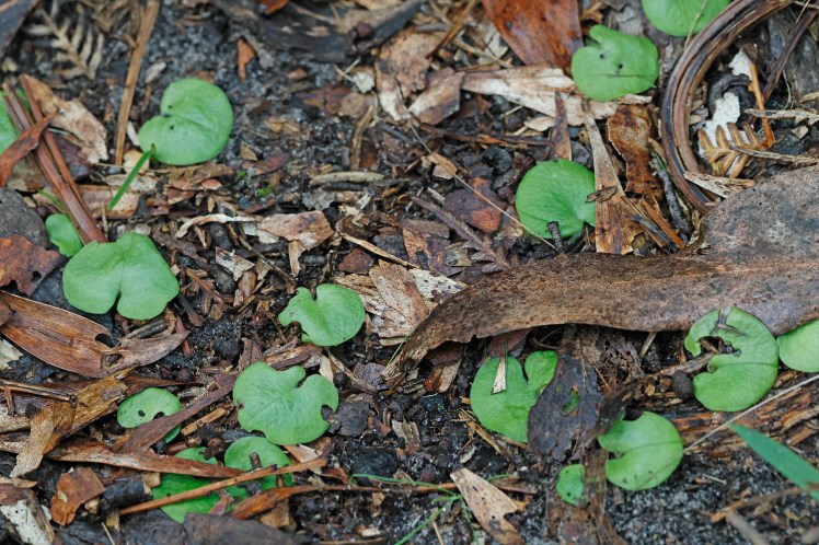
They were very prolific in places but we only found one flowering this early in the season.
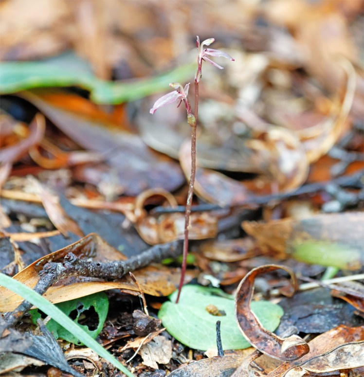
Gnat-orchid (Cyrtostylis robusta)
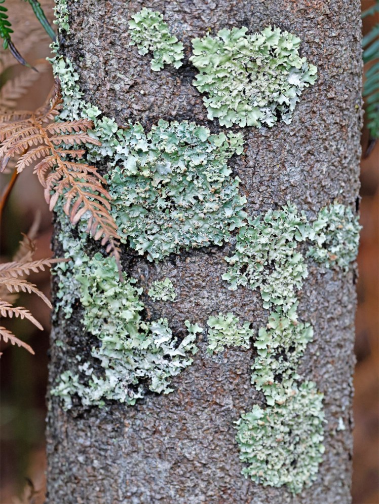
A symbiotic relation between algae and fungi – I’m lichen it!
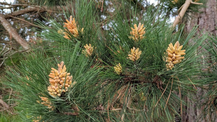
Telford Scrub is bordered on one side by pine plantation.
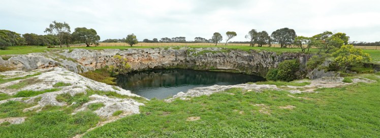
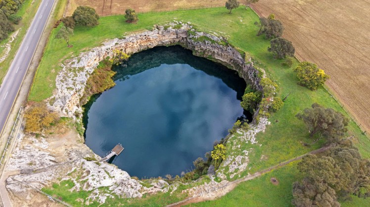
Little Blue Lake is a sinkhole south of Mount Gambier.
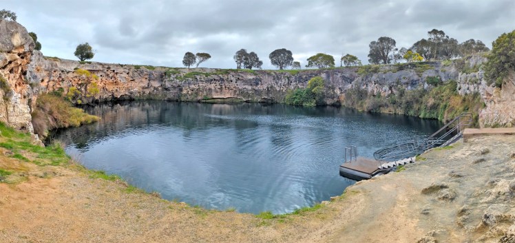
It is a popular recreational area in warmer months
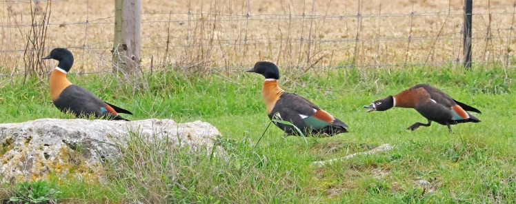
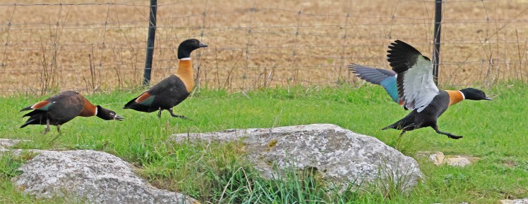
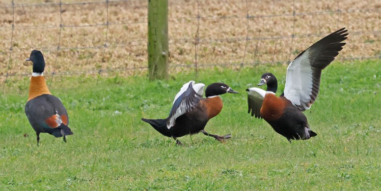
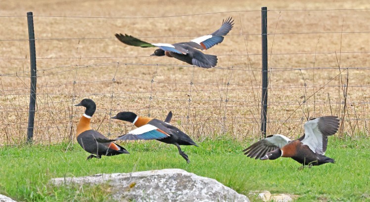
It must be breeding season as there was plenty of activity from the Shelducks.
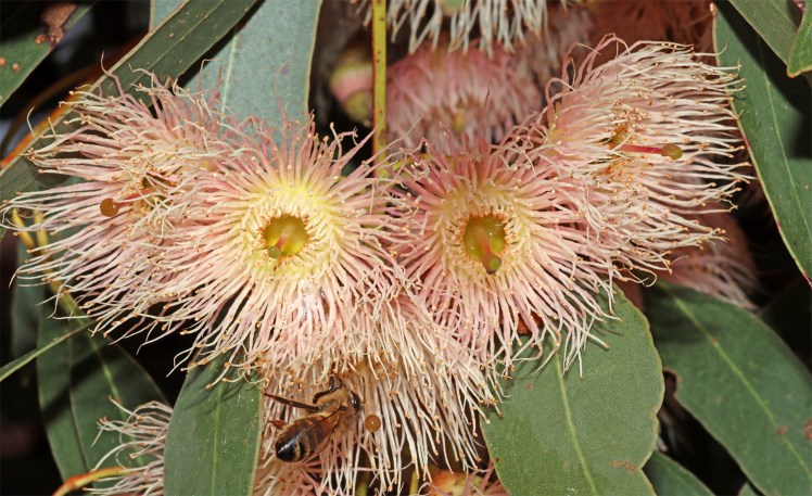
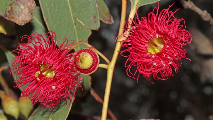
Eucalyptus flowers near Little Blue Lake
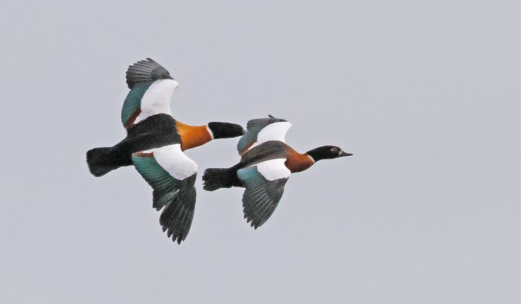
Also in the air are the Shelducks.
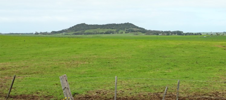
Mount Schank from the Little Blue Lake road. Mount Schank is Australia’s most recent volcano erupting 4500 years ago. Scientists believe that an eruption is overdue in this area (in a geological timeframe). Never trust volcanoes – they erupt to no good.
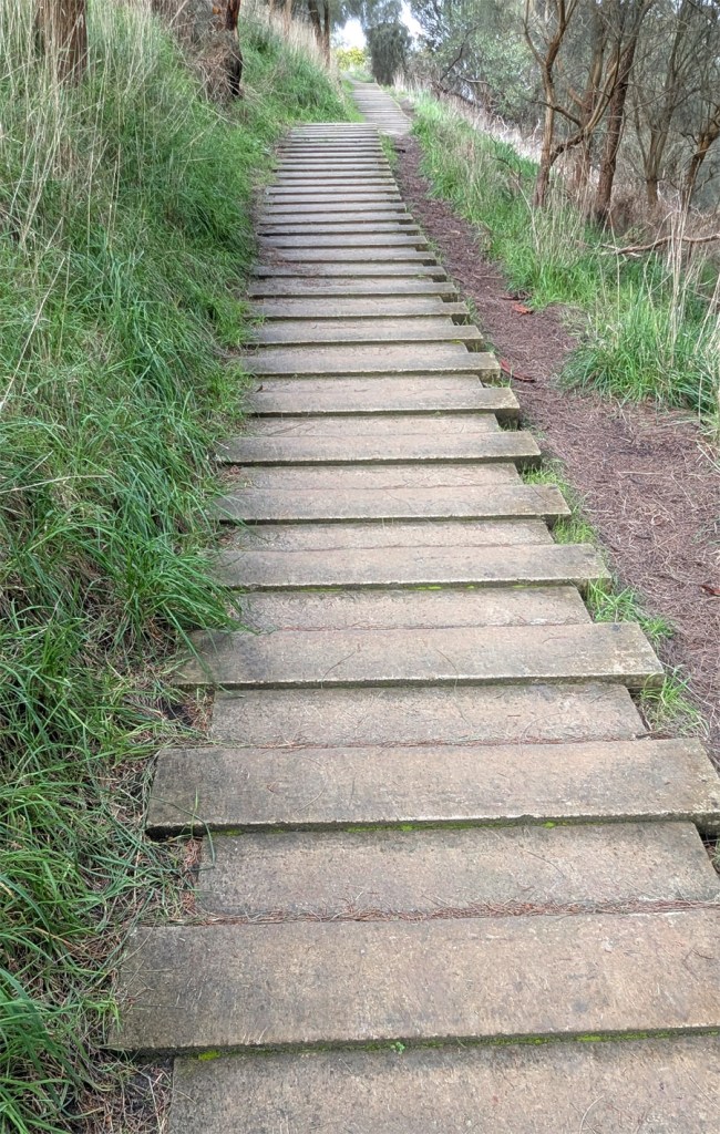
Mount Schank summit walk. There are 1,038 planks and steps on the 900 metre track to the crater rim.
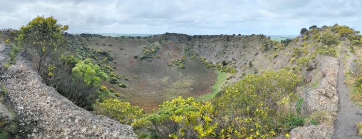
Mount Schank crater
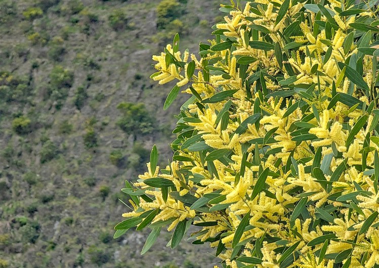
Brilliant wattle and the crater wall
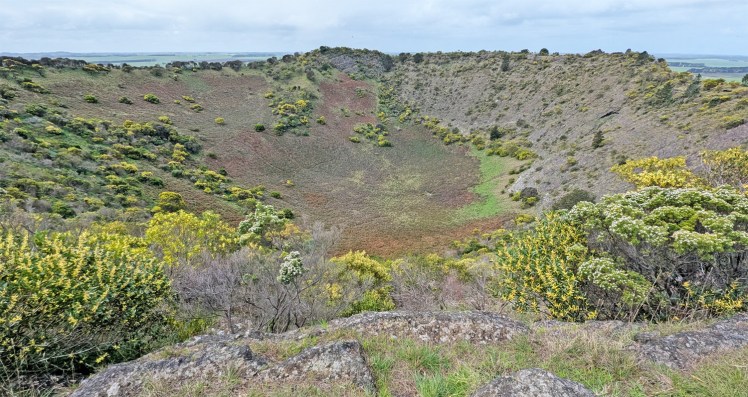
There is a 2.7km trail around the crater rim.
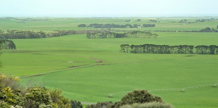
The view from Mount Schank to the Southern Ocean.
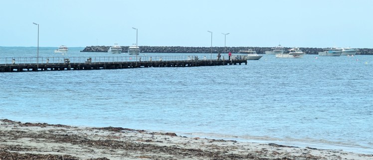
Port Macdonnell
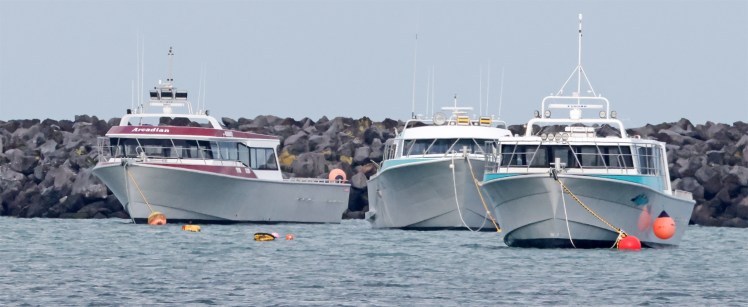
Some of the Crayfishing industry fleet at Port Macdonnell. Once a busy shipping port, the town now relies heavily on its fishing and summer tourism industries, particularly the rock lobster industry, proclaiming itself “Australia’s Southern Rock Lobster Capital”.
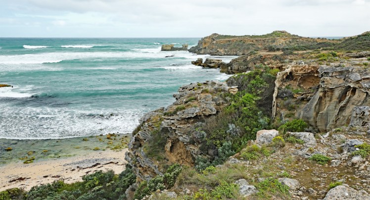
Western end of Shelly Beach
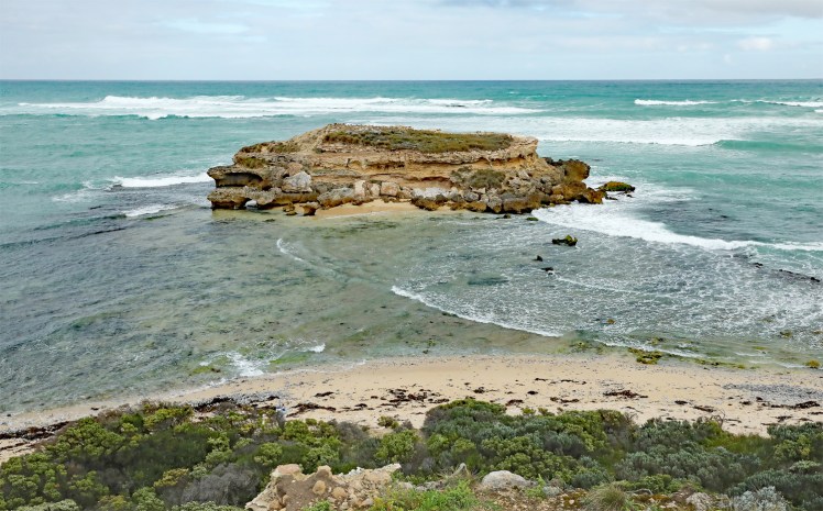
Frog Rock – the head is on the left-hand side.
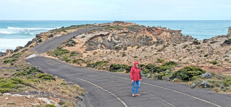
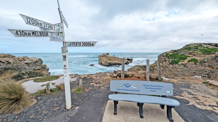
Cape Northumberland – southernmost point of South Australia.
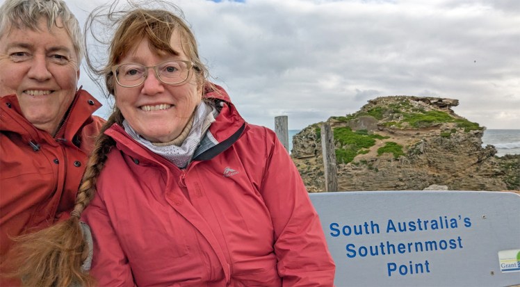
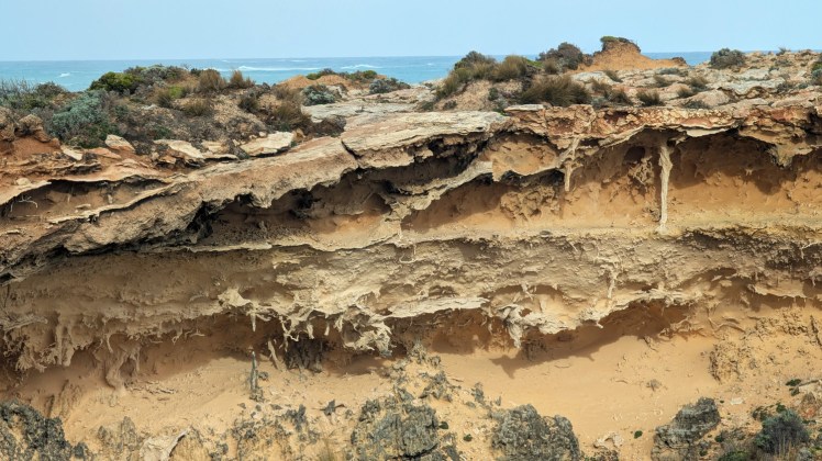
Why you shouldn’t walk anywhere near the edge of limestone cliffs 1
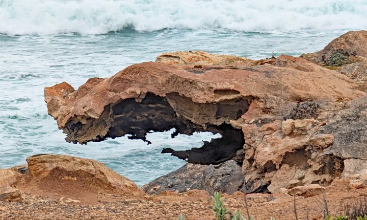
Why you shouldn’t walk anywhere near the edge of limestone cliffs II
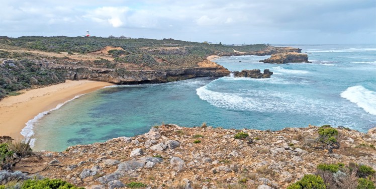
Looking east from Cape Northumberland
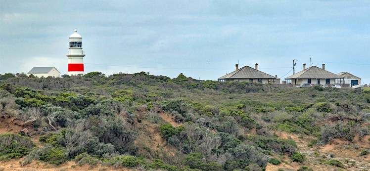
Cape Northumberland Lighthouse (1882)
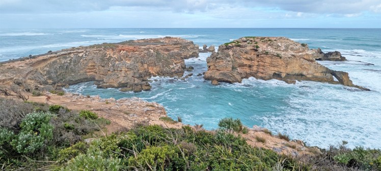
Cape Northumberland from the west with Rhino Rock
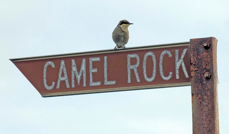
Singing honeyeater
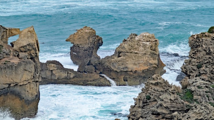
Camel Rock?
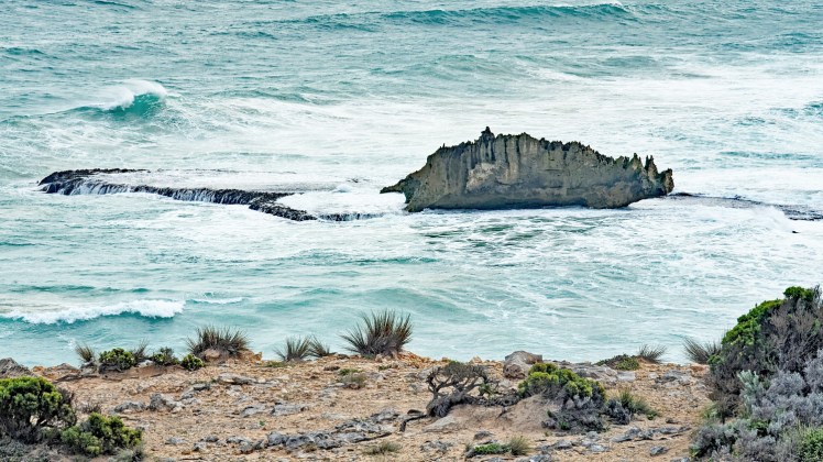
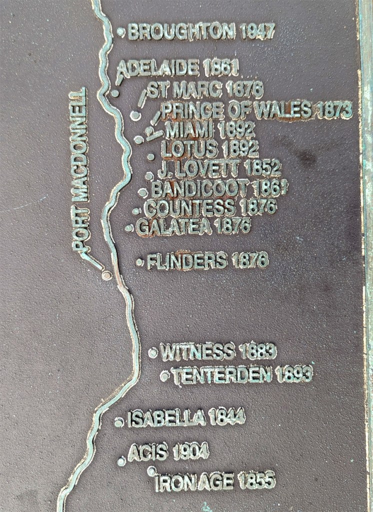
With a coastline like this, there are many historical shipwrecks.
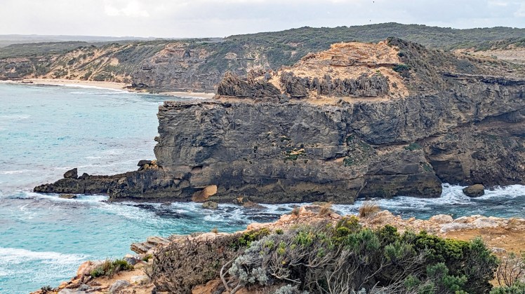
Looking west from Cape Northumberland
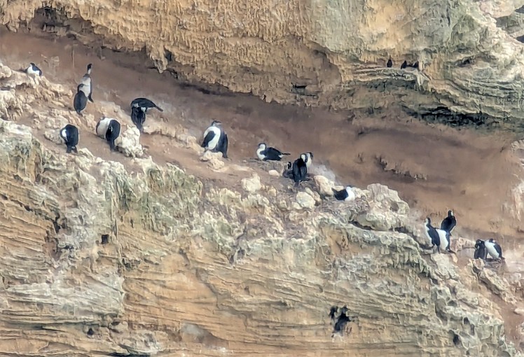
Black-headed cormorants sheltered from the bracing winds.
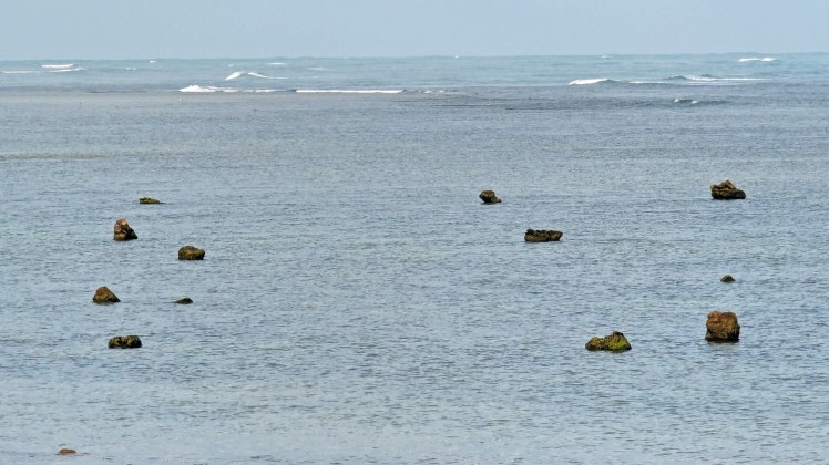
The Petrified Forest at Port Macdonnell is a red gum forest that petrified and now stands on a rock shelf on the coast. More interesting at low tide.
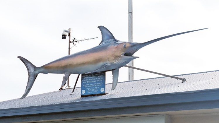
A sad day for Swordfish – record catch from 2015. 😦
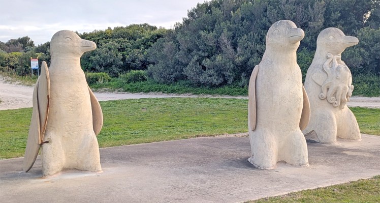
Surfs Up!
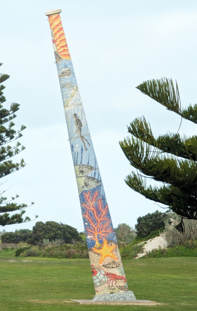
Art installation – a nine metre tall ships mast, covered in a mosaic story of the town.
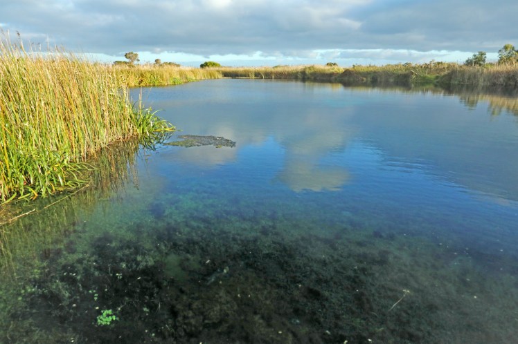
Ewens Ponds is a series of three water-filled limestone sinkholes with exceptionally clean clear water allowing plants to grow at greater depths as the sunlight penetrates further.
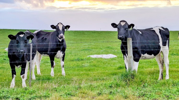
Cow heaven in the green paddocks east of Port Macdonnell.
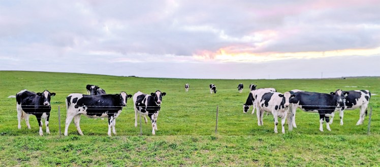
These guys were quite inquistive – they didn’t cower at all.
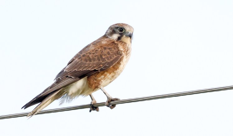
Brown falcon scanning for dinner.
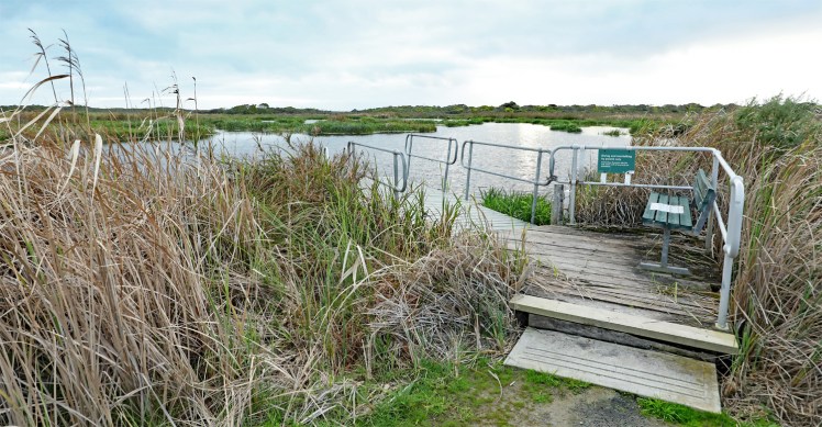
Piccaninnie Ponds – part of a flooded subterranean limestone cave system. We didn’t enter – it is dangerous and a real dive.
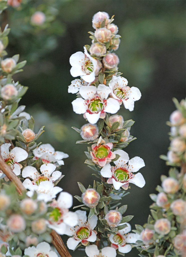
Leptospermum growing in thickets near the Ponds
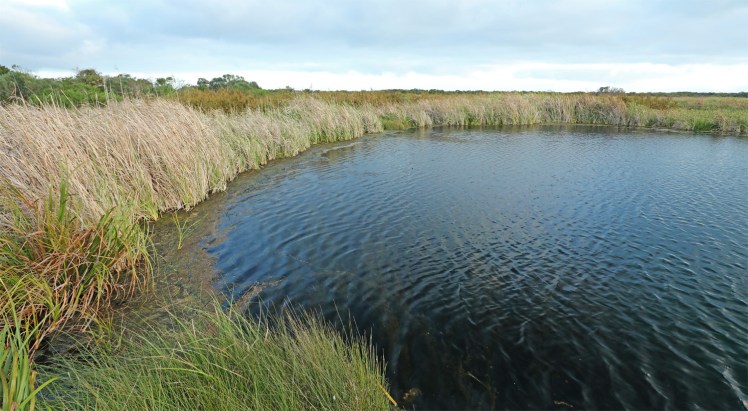
There are three main ponds in the system – the first pond is an open, bowl-shaped depression about 10 metres deep with a silty floor; the second is The Cathedral, an enclosed cavern area featuring white limestone formations with a depth of about 35 metres; and The Chasm, a vertical sinkhole plunging to a depth of 110 metres.
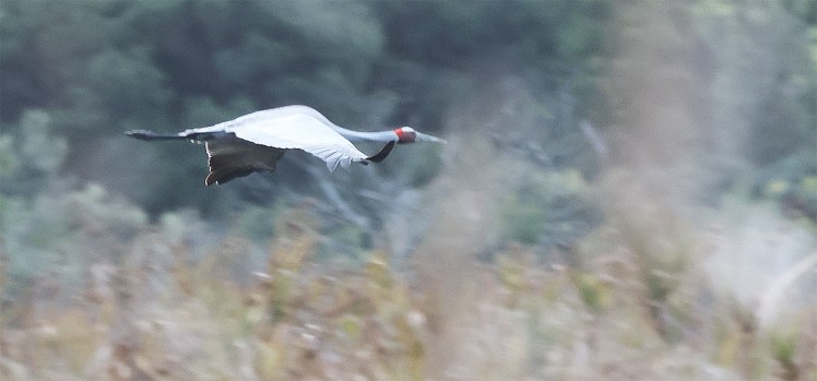
Suddenly, I became aware of a very large bird in the sky and to my amazement, a brolga flew by. A quick check on iNaturalist and it is close to the southern-most part of their recorded range.
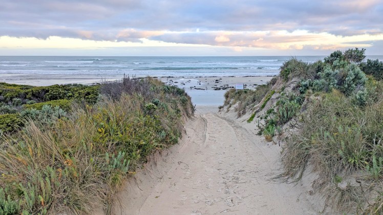
Beach walk in the Conservation Park
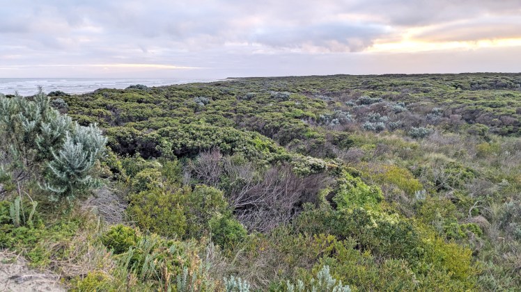
Coastal heath in Piccaninnie Ponds Conservation Park
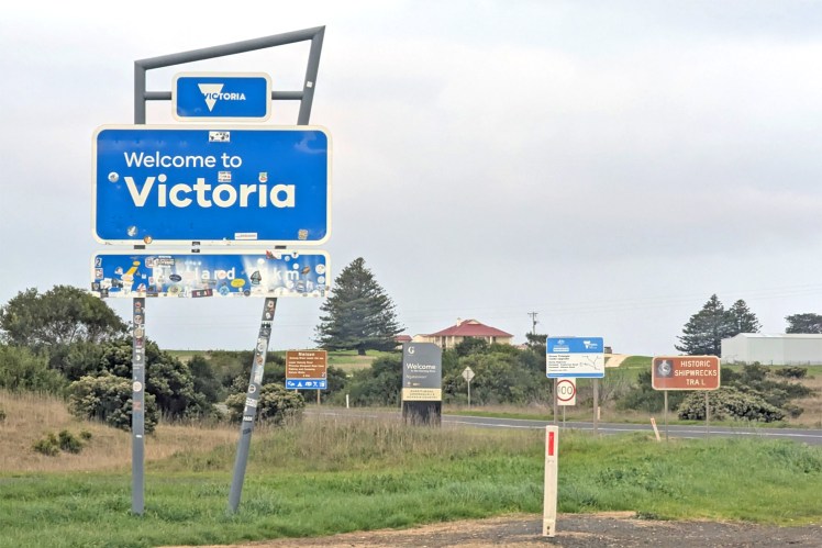
And the State We’re In is now a return to Victoria.
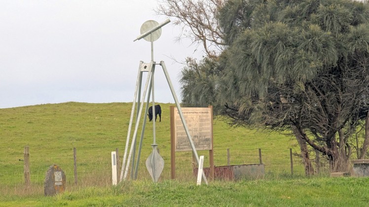
Big Surveyors Tripod commemorates the work of surveyors who worked on the South Australian-Victoria border from 1839 to 1868.
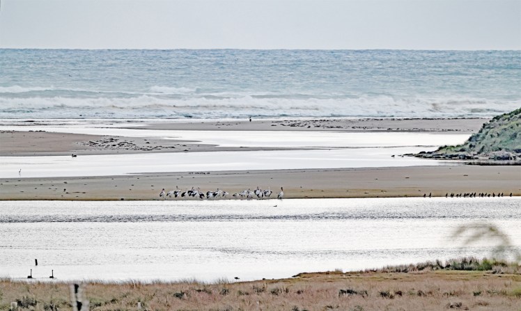
Nelson is a small Victorian fishing town on the Glenelg River. Here the river enters the Southern Ocean. Another inspiration for palindromes! Kayak on the Glenelg when the river is level at noon. My apologies for those who suffer aibohphobia.
There were many birds on this stretch of Discovery Bay – I hope they stay well.
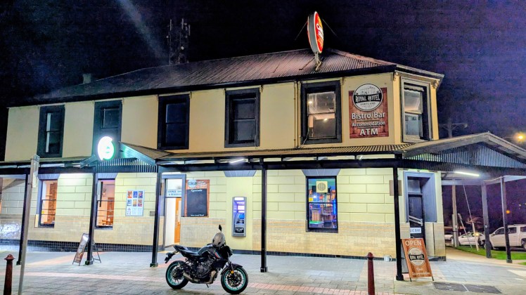
Into Portland for a couple of nights. Dinner at The Royal Hotel.

