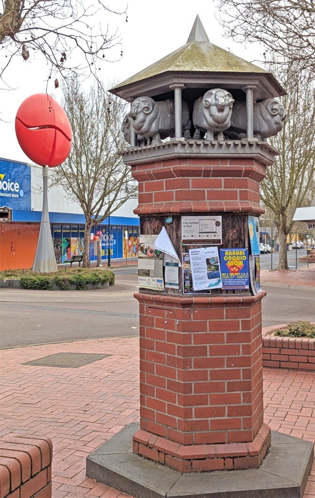
The Heart of Hamilton sculpture and a monument showing the importance of sheep in the district.
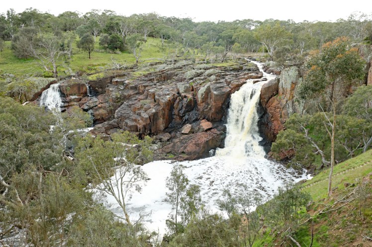
Nigretta Falls is a multi-channel cascade guided by patterns of joints in a much older (Devonian) rhyolitic volcanic rock.
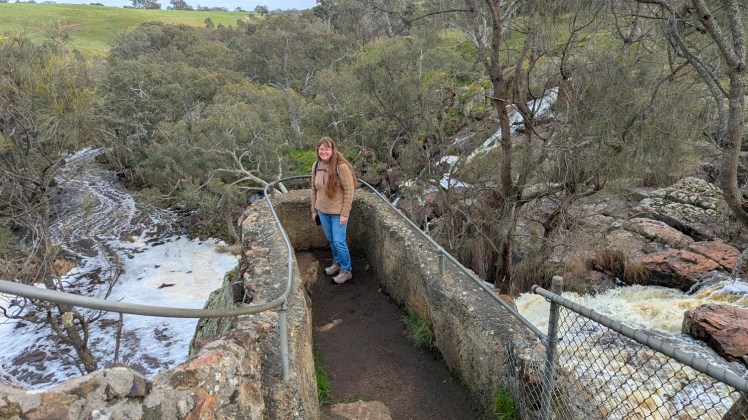
Top of the falls
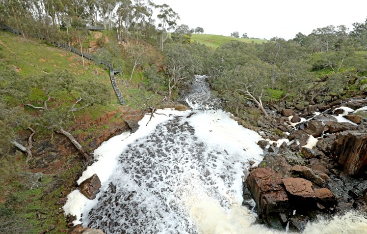
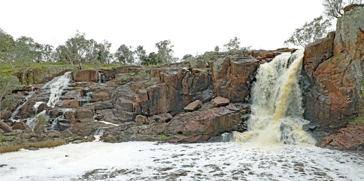
Morning cardio – stairs lead to a lookout near the base of the falls.
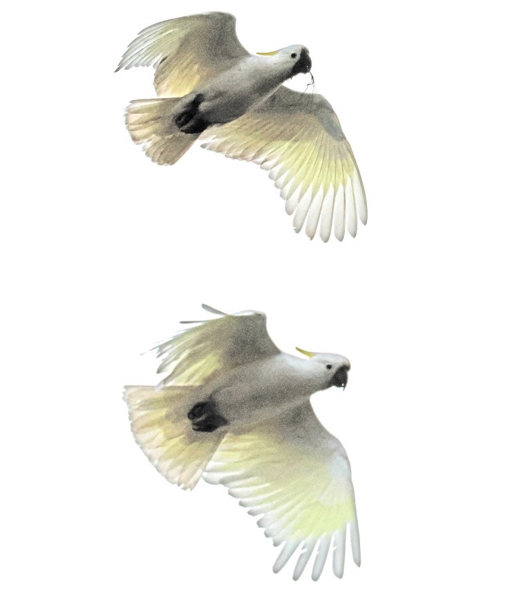
Sulphur crested cockatoos against a very cloudy sky.
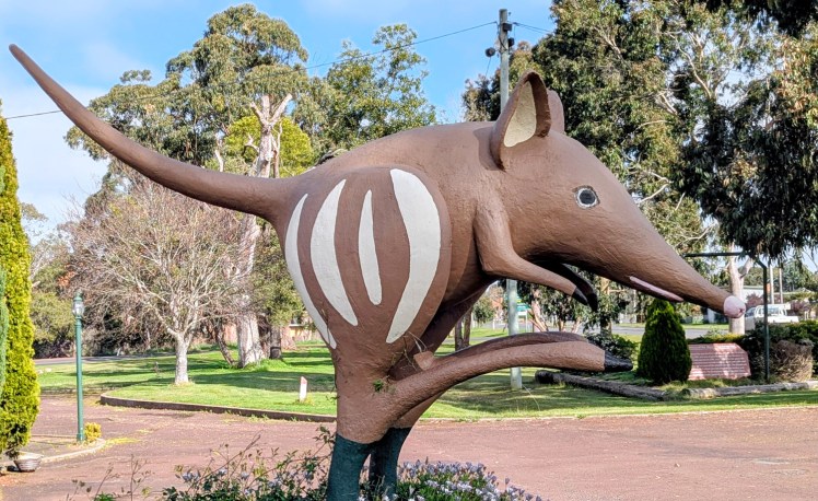
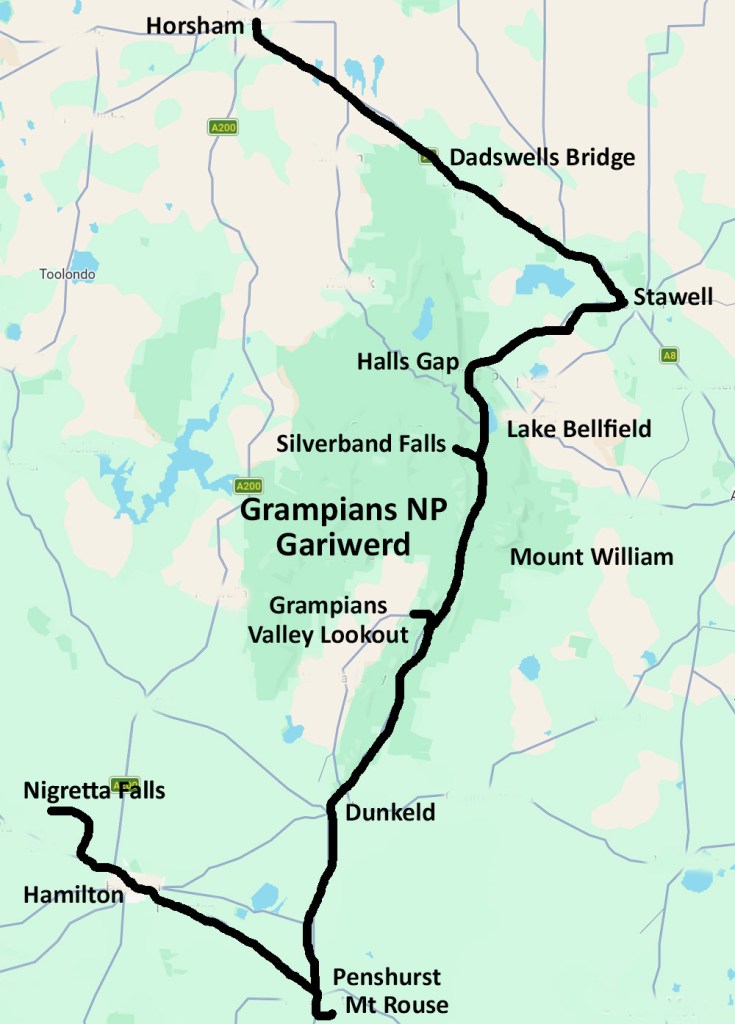
We return via Hamilton and see the Big Bandicoot – time to scoot!
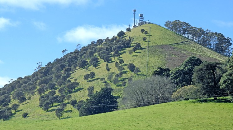
Collorrer (Mount Rouse) near Penshurst is built mainly of red and brown scoria with thin, interbedded basalt lava flows. It is a massive accumulation of scoria, rising 100 metres above the surrounding volcanic plain.
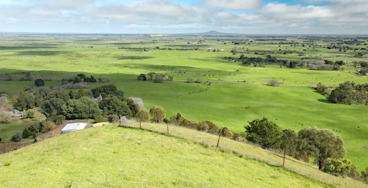
The view to Mount Napier across the volcanic plain.
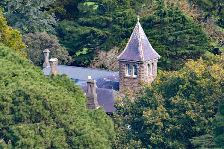
At the foot of Mount Rouse is Chateau Kolor, a prominent historic bluestone homestead built in 1868. It is situated on a 300-acre working merino sheep farm.
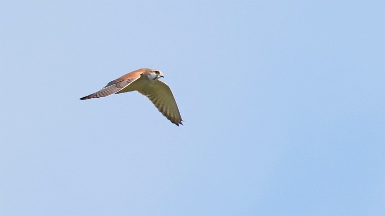
Australian kestrel looking for brunch
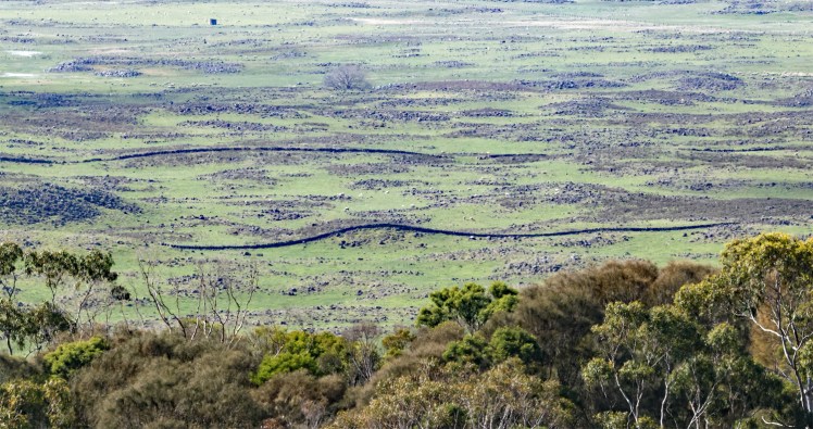
Volcanic stone fences snaking across the rock strewn volcanic plain.
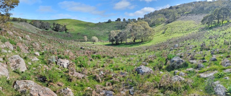
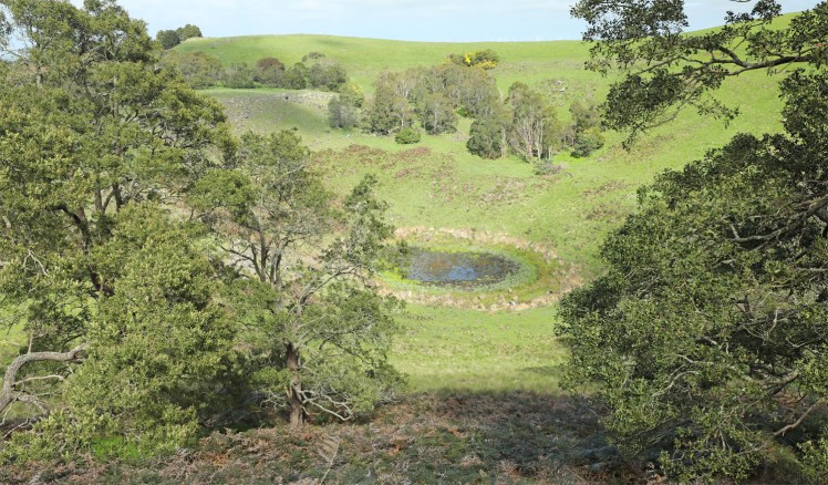
To the south of the main scoria cone is a deep circular crater with a small lake and a smaller shallow crater. Past lava flows from Collorrer (Mount Rouse) followed shallow, gently sloping river courses, extending at least 60 kilometres south.
A basalt lava flow contained in the scoria cone has been dated at approximately 1.8 million years old. If this is accurate, then Collorrer (Mount Rouse) marks the beginning of the second (younger) phase of activity in the Newer Volcanics Province.
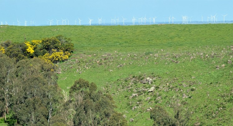
Mount Rouse is now classifed as extinct. This is a view across the crater to an extensive wind farm in the distance.
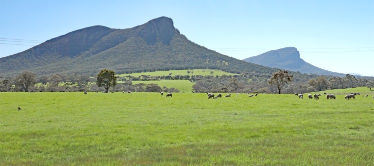
Roadside views of Mt Sturgeon and The Piccaninny
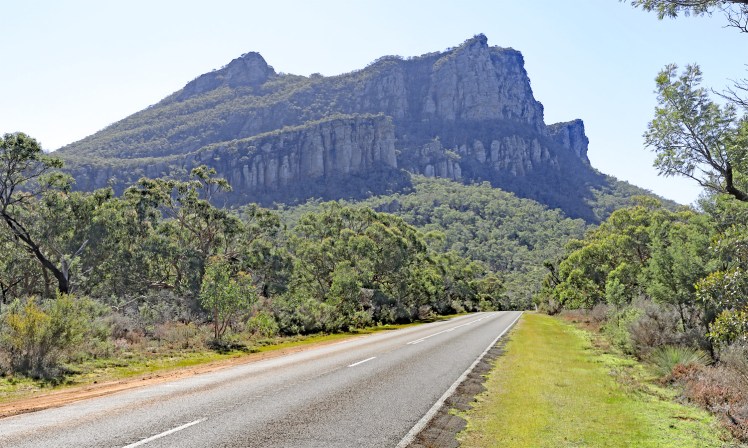
Mount Abrupt in Grampians/Gariwerd National Park. Gariwerd is the Jardwadjali name for the mountain range, first recorded in 1836. The Grampians feature a series of sandstone ranges with tilted rock strata making some striking formations. The Gariwerd area features about 90% of the known Indigenous rock art in Victoria.
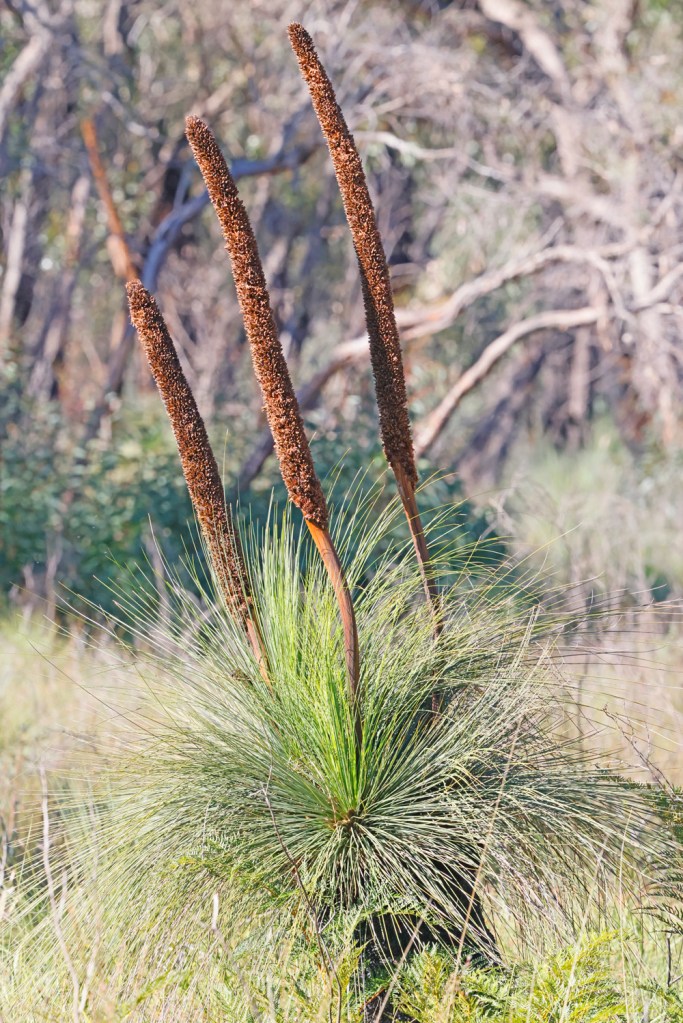
Roadside stops to look at wildflowers. This is a grasstree (Xanthorrhea).
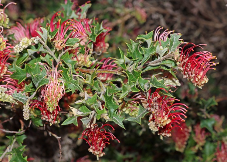
Holly grevillea (Grevillea aquifolium)
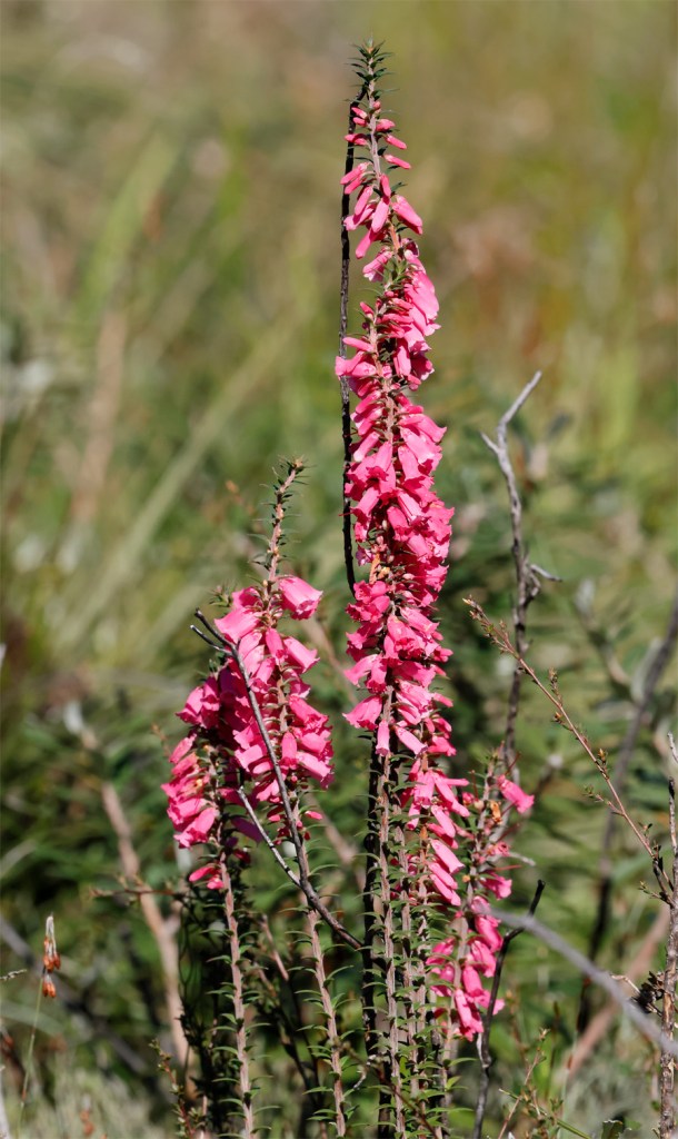
Grampians Heath (Epacris impressa var. grandiflora)
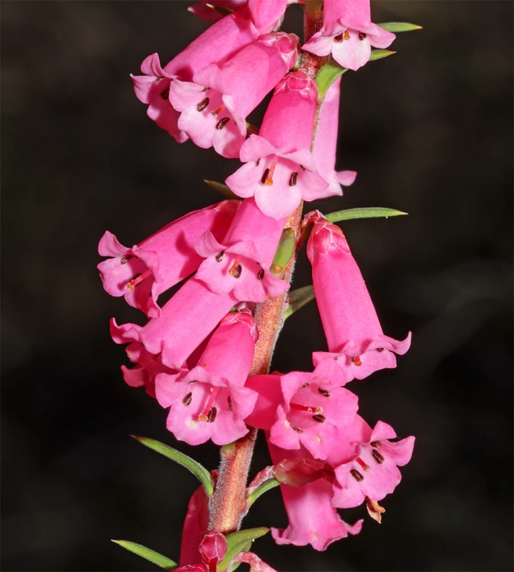
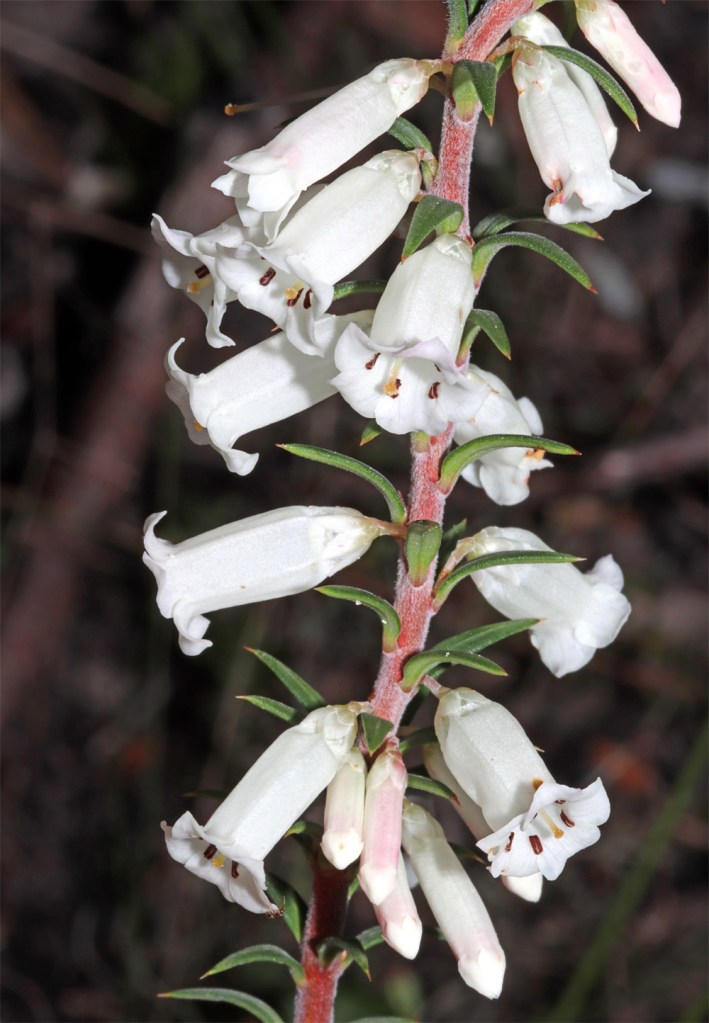
They come in white too.
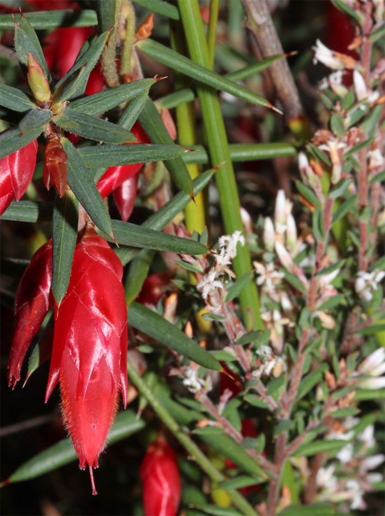
Flame heath (Stenanthera conostephioides)
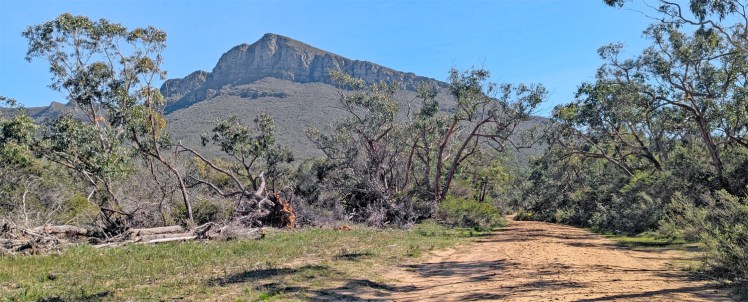
Firebreak road – in December 2024, the Grampians region was struck by devastating fires burning through more than 76 000 hectares of land.
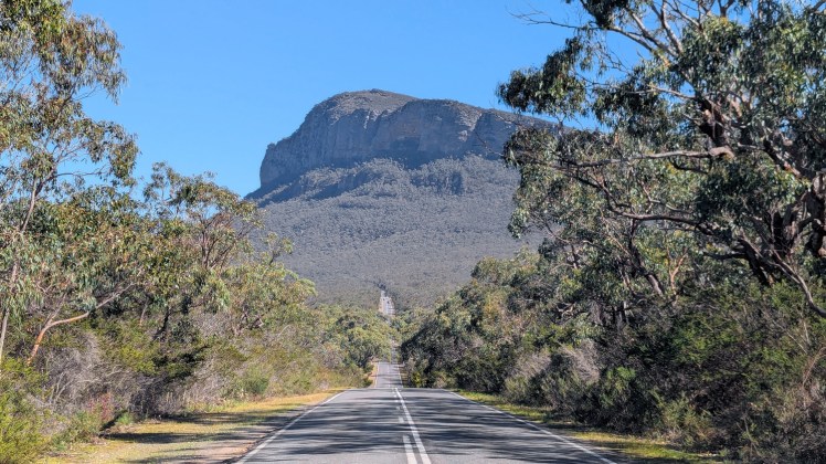
Grampians Road is a very scenic drive.
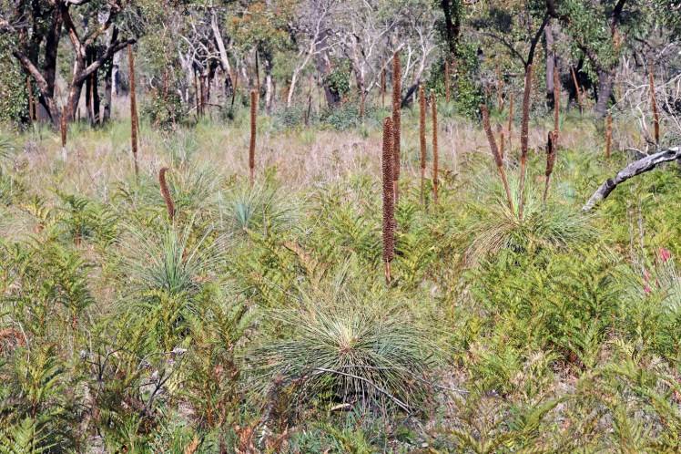
Another roadside stop
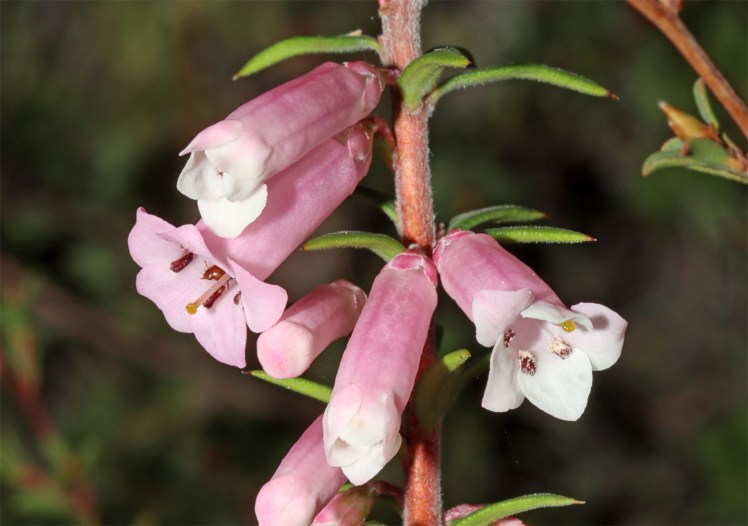
Epacris heath comes in many shades from hot pink to white.
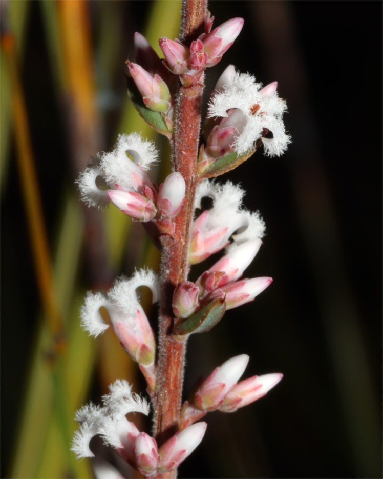
Beard heath (Leucopogon sp.)
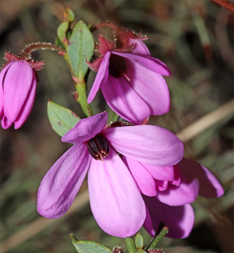
Pink Bells (Tetratheca ciliata)
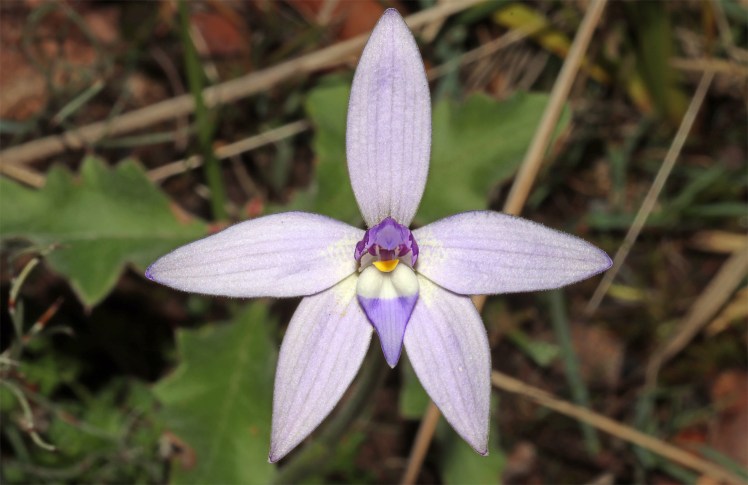
Wax lip orchid (Glossodia major)
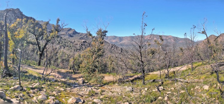
A side road leads to the Grampians Valley Lookout
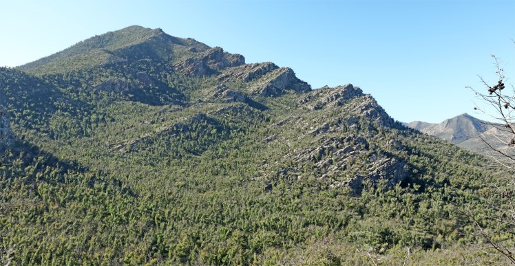
There are mountains either side of a saddle.
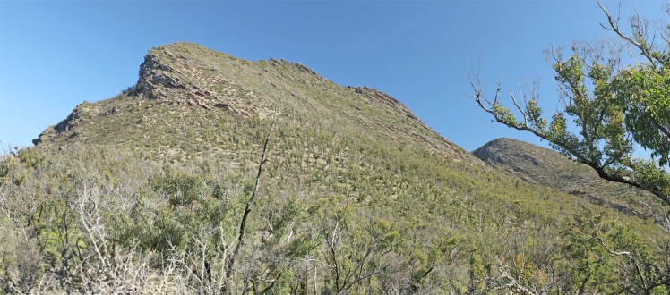
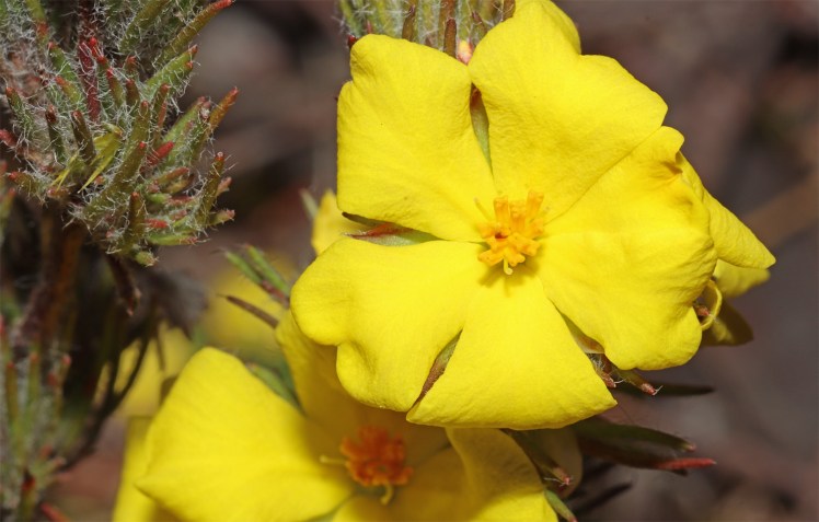
Lots of wildflowers are scattered across the rocky ridge.
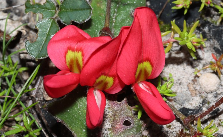
Running postman (Kennedia prostrata)
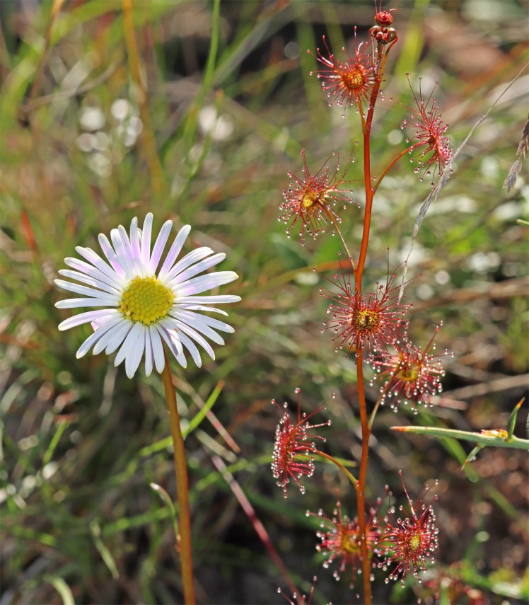
Brachyscombe daisy and an insectivorous sundew (Drosera)
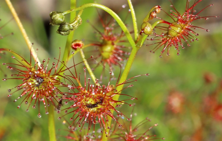
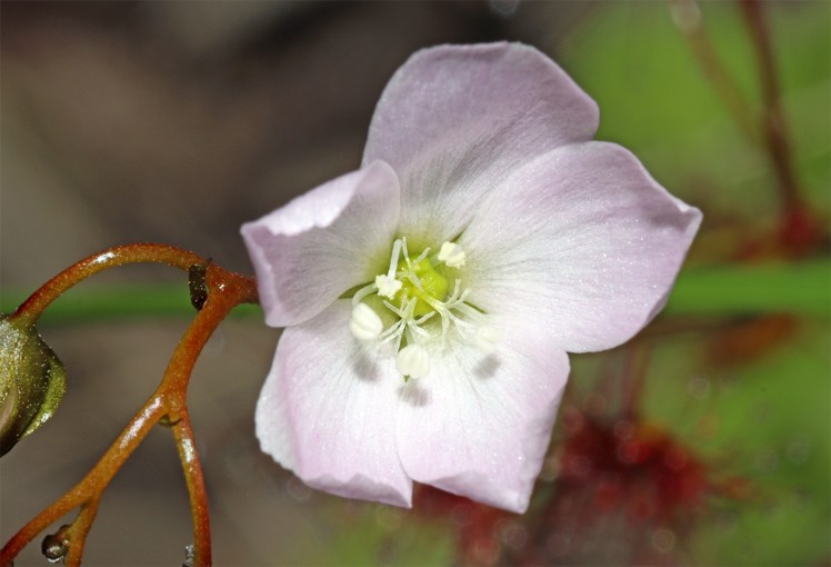
The flower from this upright species of Drosera
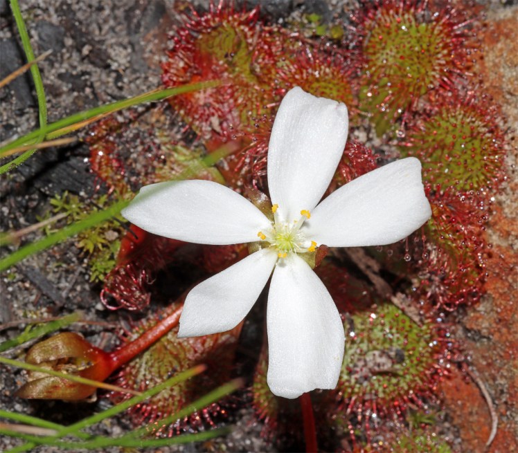
Flowering Spoon-leafed sundew (Drosera spatulata)
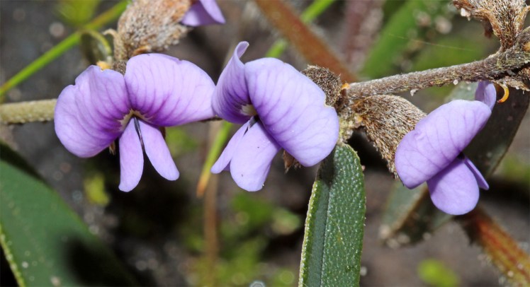
Hardenbergia
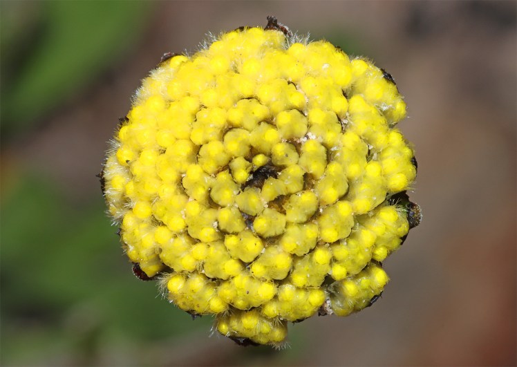
Billy button (Craspedia) with the composite flowers about to open.
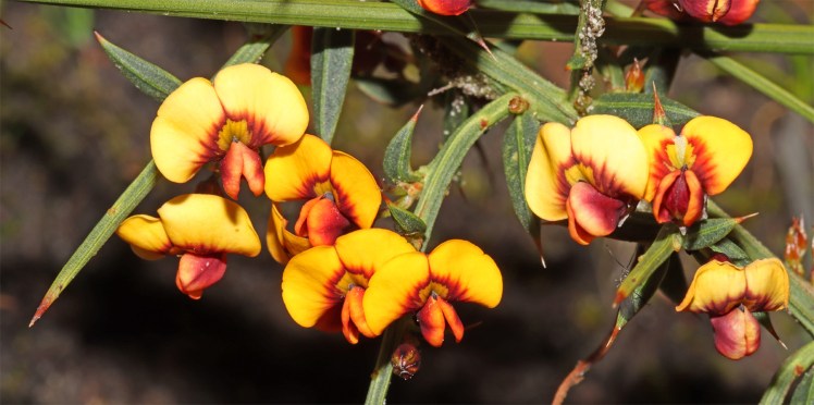
Daviesia pea
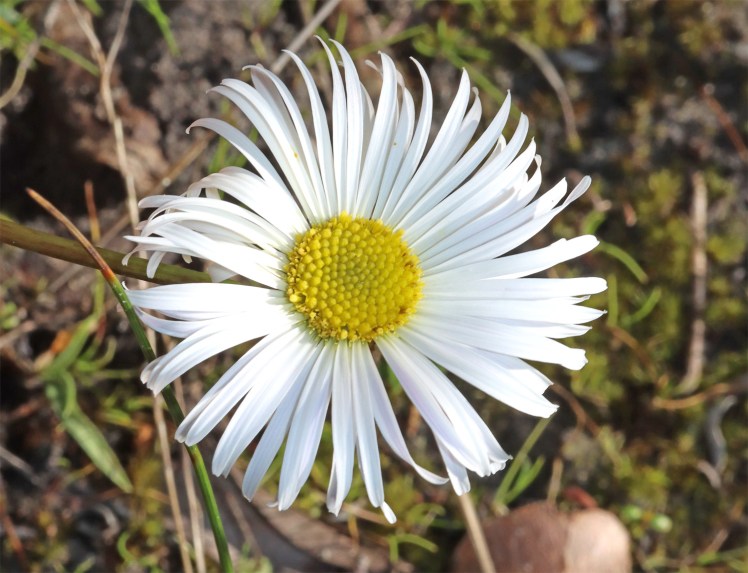
Native daisy (Allittia ulininosa) often emerges after bushfires growing in damp areas at the base of the rocks.
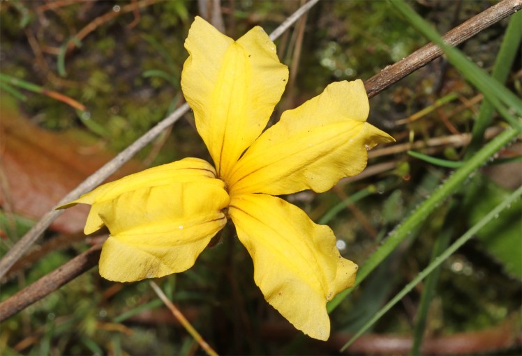
Goodenia
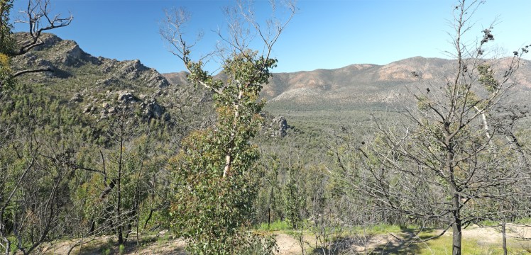
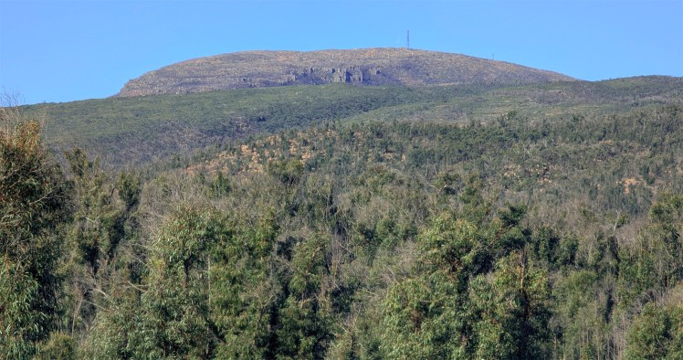
Mount William is the highest point within the park. The summit is 1167m and can be very cold with snow in winter.
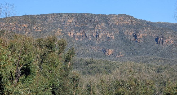
Sandstone mountains
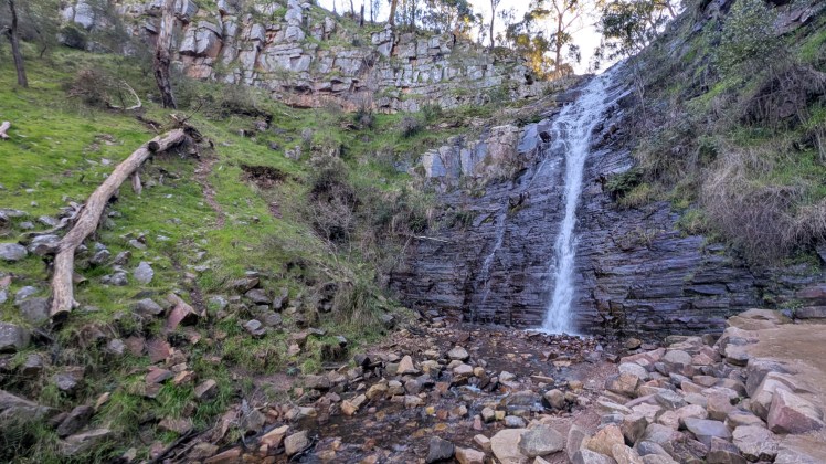
Silverband Falls
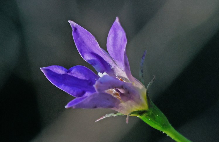
Wahlenbergia stricta commonly called the tall bluebell, produces star-shaped purple flowers.
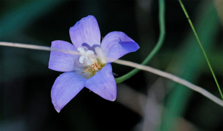
Another species of Bluebell
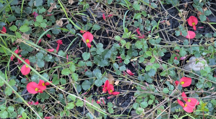
Kennedia scrambling acrooss the ground
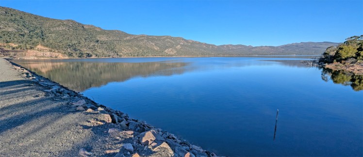
Lake Bellfield
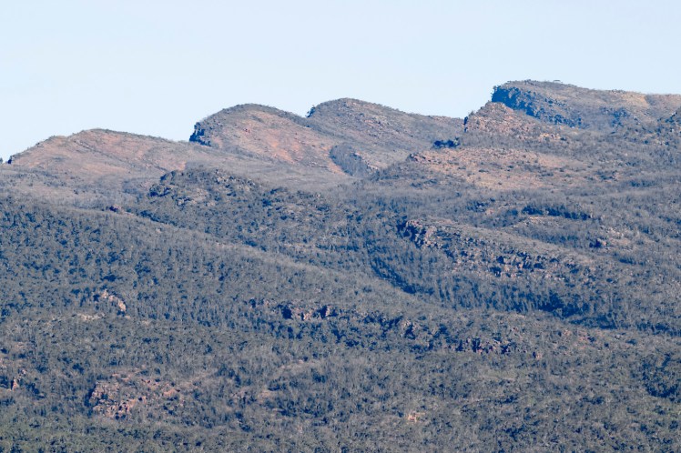
Lake Bellfield is surrounded by mountains
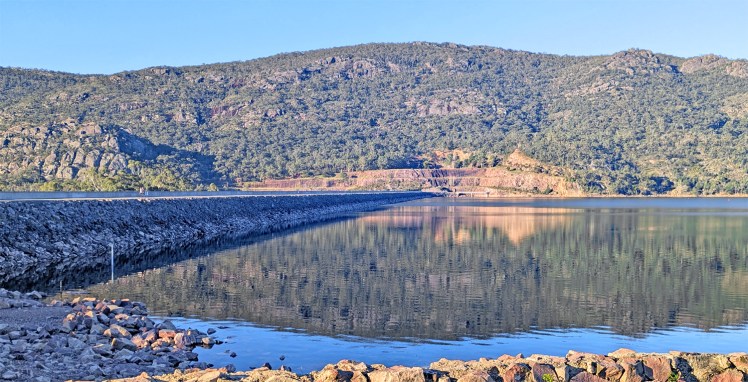
Lake Bellfield dam wall
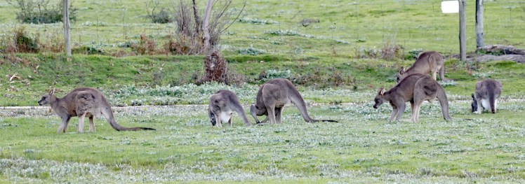
Eastern grey kangaroos on the edge of town at Halls Gap….
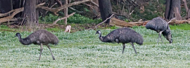
..and nearby emus complete the coat of arms. We then head north-east through Stawell but do not stop – there was no Gift.
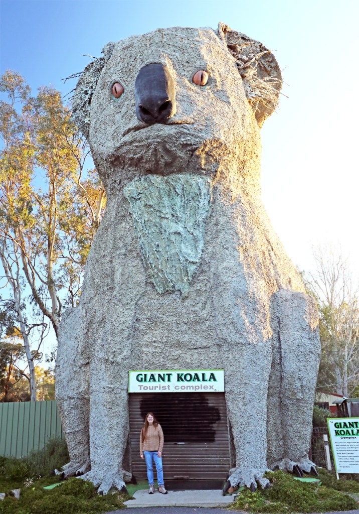
The Big Koala at Dadswell Bridge – I’m a bit concerned about the koality of this one. More like a dropbear.
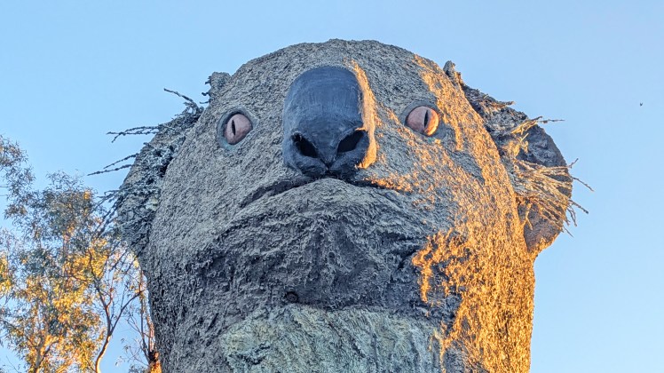
The eyes appear to follow you. If they ever do an Australian version of Squid Game, this is a certain starter.
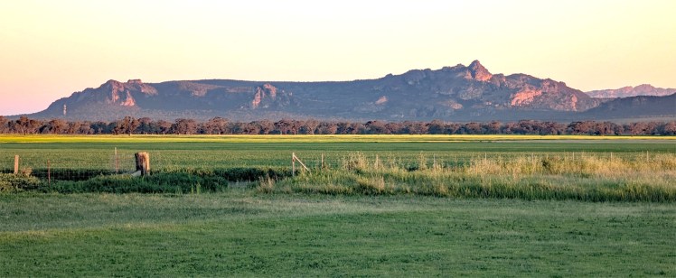
The northern-most mountains of the Grampians at sunset. The geographic length of the Grampians National Park (Gariwerd) from north to south is approximately 90 kilometres.
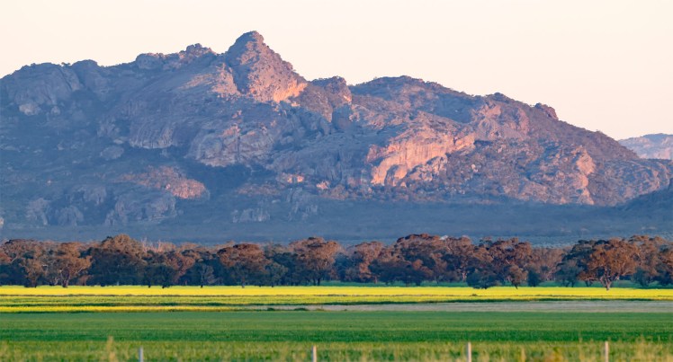
Hollow Mountain – we hope to return there tomorrow.
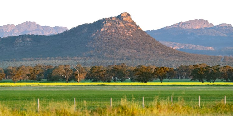
Mount Zero, the northern-most mountain in Grampians (Gariwerd) National Park
Into Horsham for three nights

