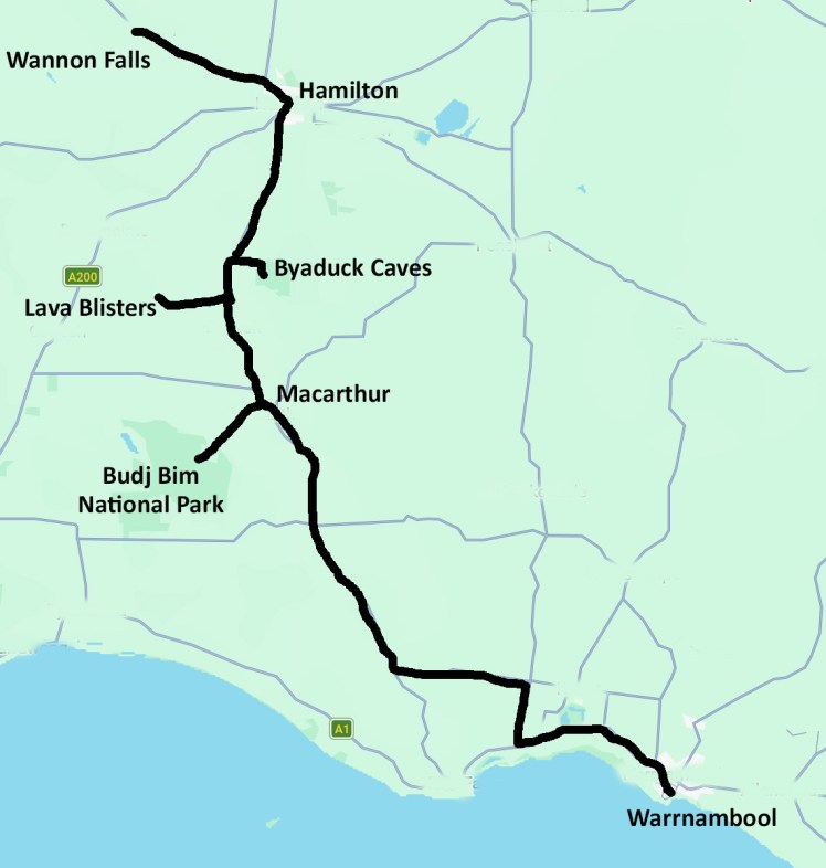
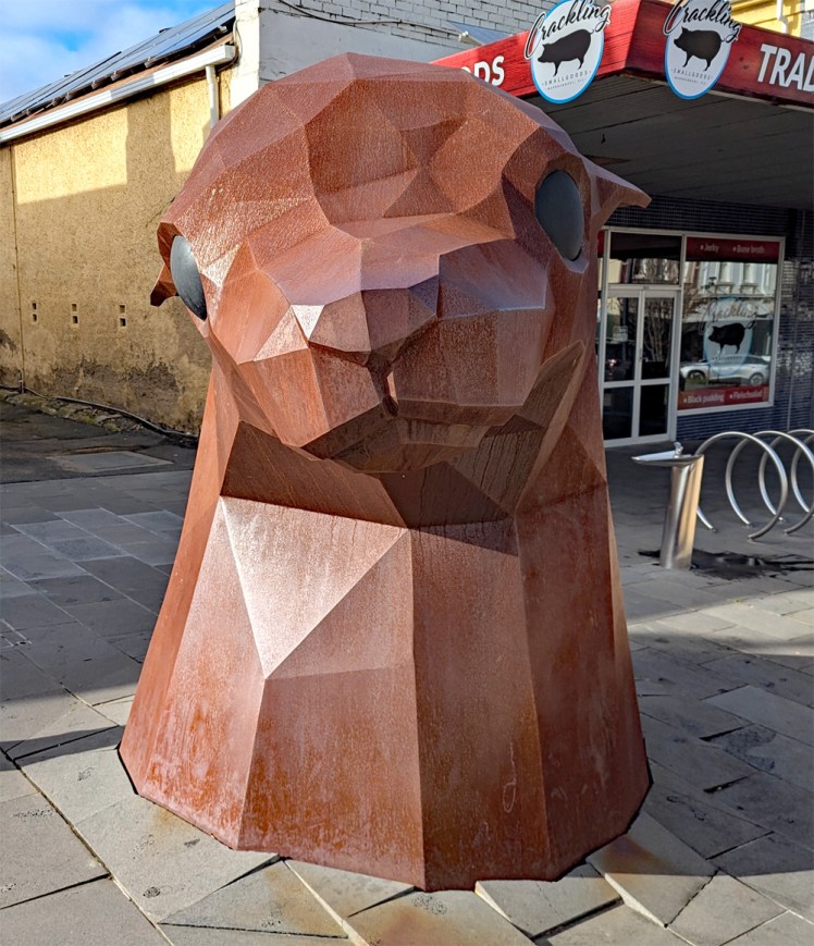
We say goodbye to Warrnambool and head north-west. It receives our seal of approval.
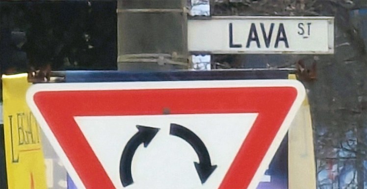
We go with the flow on Lava Street.
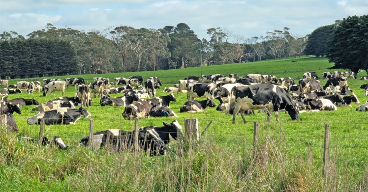
We pass through prime dairying country.
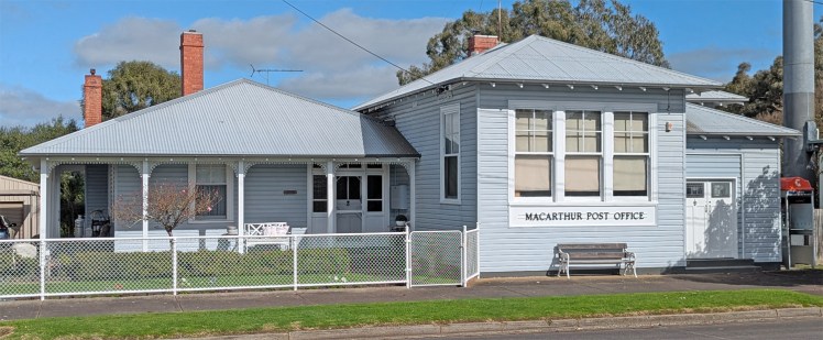
Macarthur still celebrates their past unwelcome tag as the most boring town. Even Eric Olthwaite would leave Denley Moor to move here.

Bubonic Plague re-enactment? Newspaper clippings buried under the septic tank lid? You be the judge.
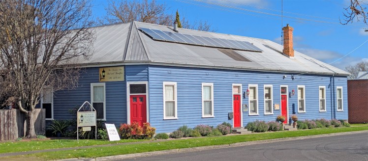
Macarthur may need more than a coat of red paint. We saw no-one on the main street.
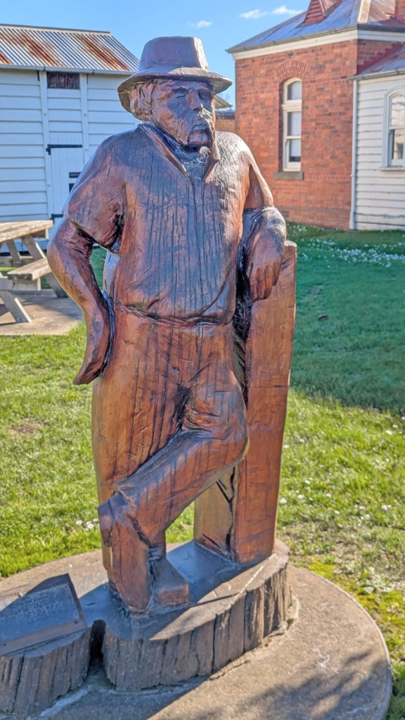
I asked old mate here what he got up to. He showed me his journal of grass heights between mows from his yard, his bottle top collection and his new shovel.
Budj Bim is part of the Newer Volcanics Province geological area which is a volcanic field, formed by the East Australia hotspot across south-western Victoria and across the border into South Australia. It covers an area of 15,000 square kilometres, with over 400 small shield volcanoes and volcanic vents.
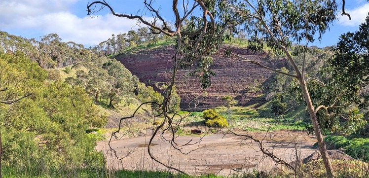
Budj Bim (Mount Eccles) National Park contains a dormant volcano. It lies within the geologically-defined area known as the Newer Volcanics Province, which is the youngest volcanic area in Australia and stretches from western Victoria to south-eastern South Australia. Budj Bim is the Gunditjmara name, meaning “High Head”. This is the Budj Bim peak with remnant quarry.
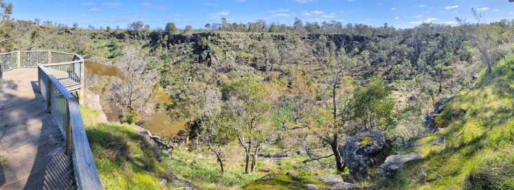
The peak is a scoria hill that was thrown up beside a group of three overlapping volcanic craters that now contain Lake Surprise.
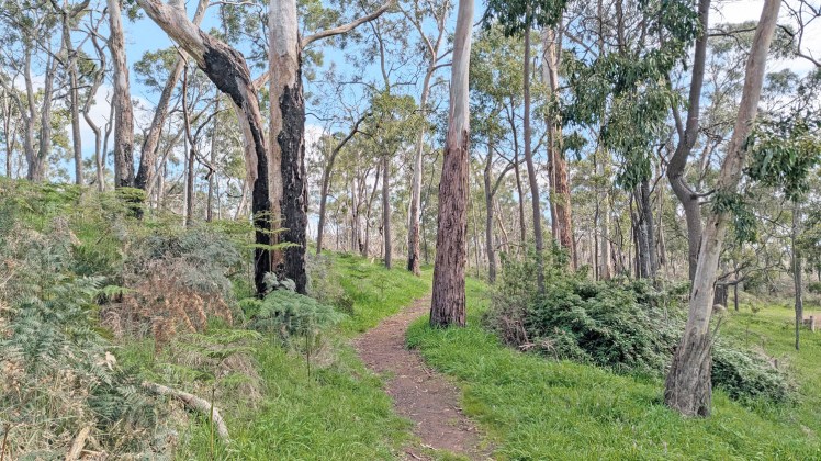
Several trails circle the lake and access volcanic landforms.
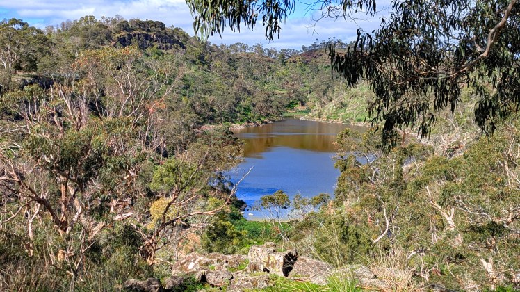
Another lookout with view to Lake Surprise and Budj Bim (Mount Eccles)
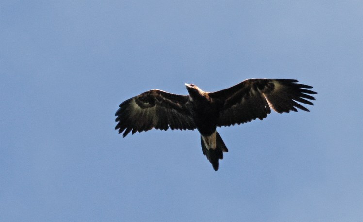
Wedge-tailed eagle
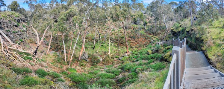
Lava canal that ran from the Budj Bim crater
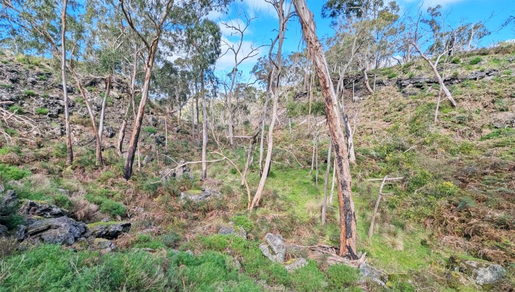
The gap in the crater in the centre middle distance from which the lava canal flowed.
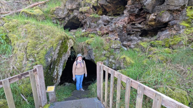
Entrance to the Lava Cave – a former lava tube with fast flowing lava from the eruption 30000 years ago.
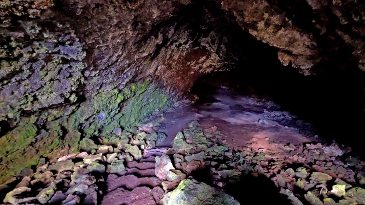
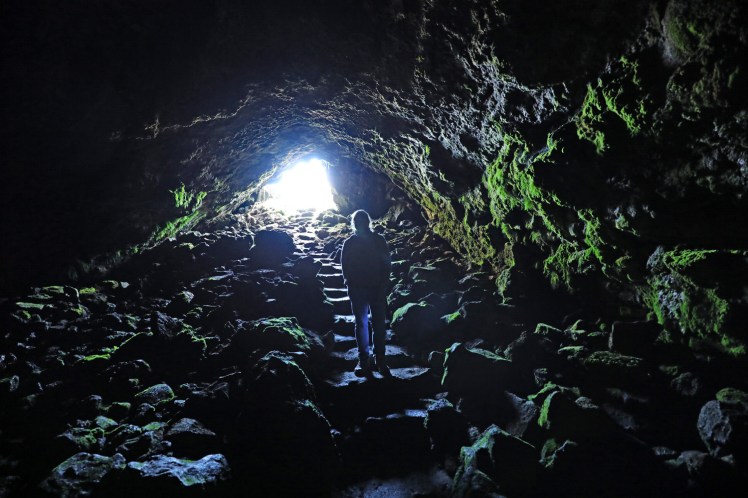
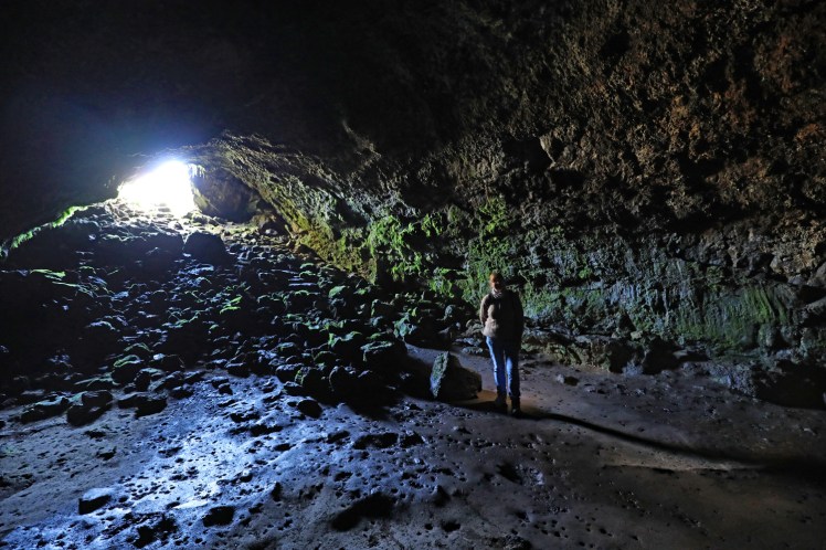
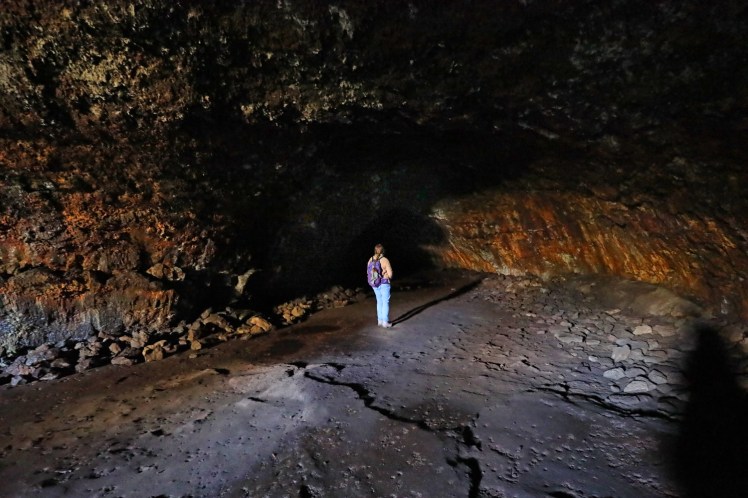
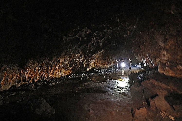
We met a nice family…
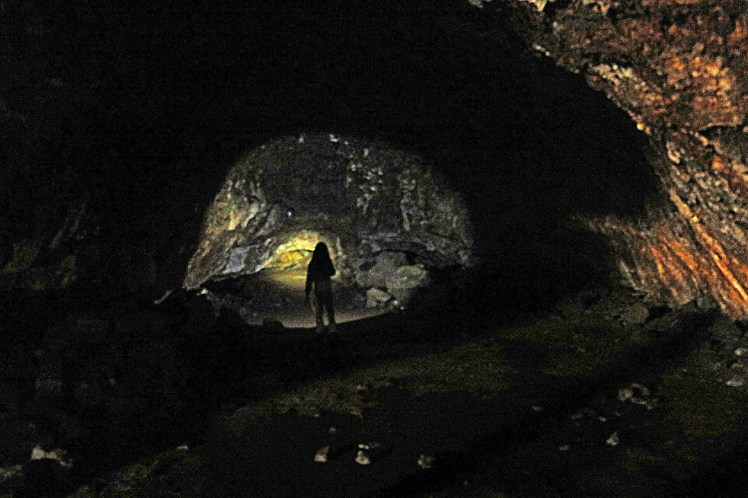
… equipped with torches so we could go further in the lava tube.
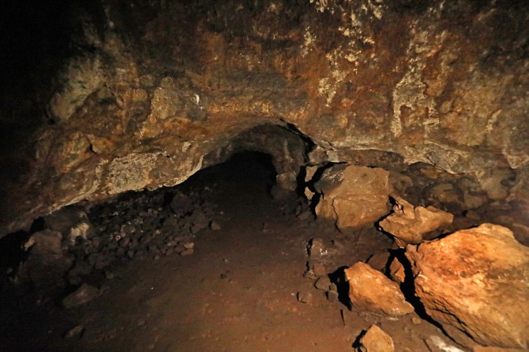
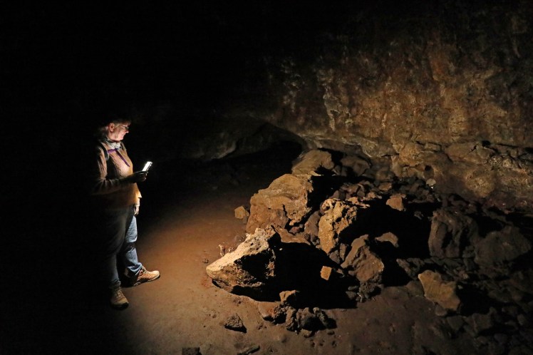
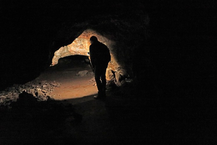
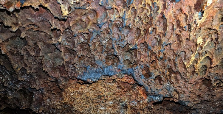
Molten lava pattern on the roof of the lava tube cave.
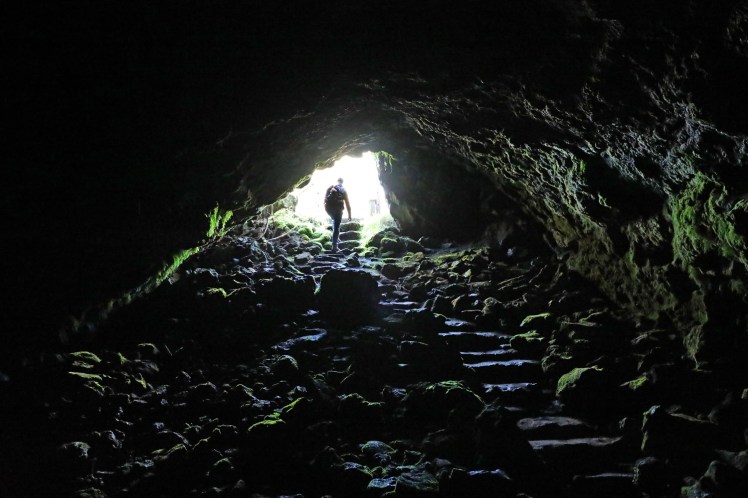
Back to the surface.
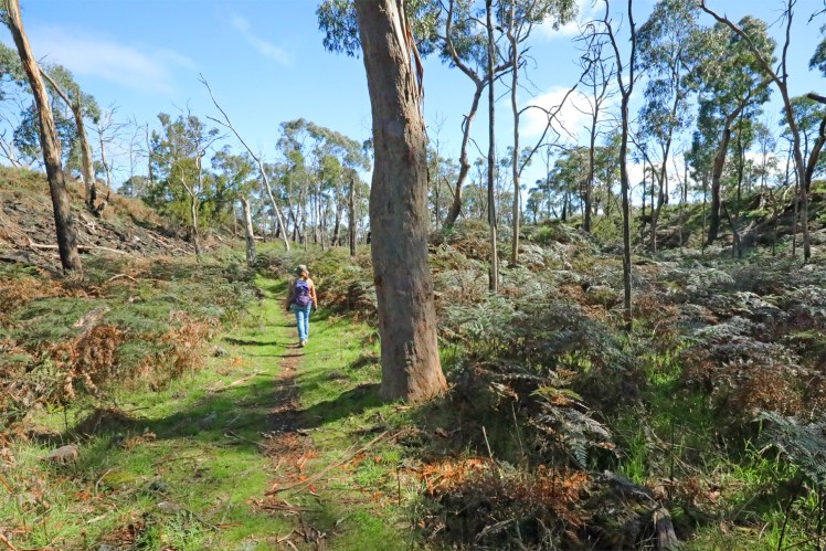
We continue the walk along the Lava Canal – lava channels carried the lava away from the vents.
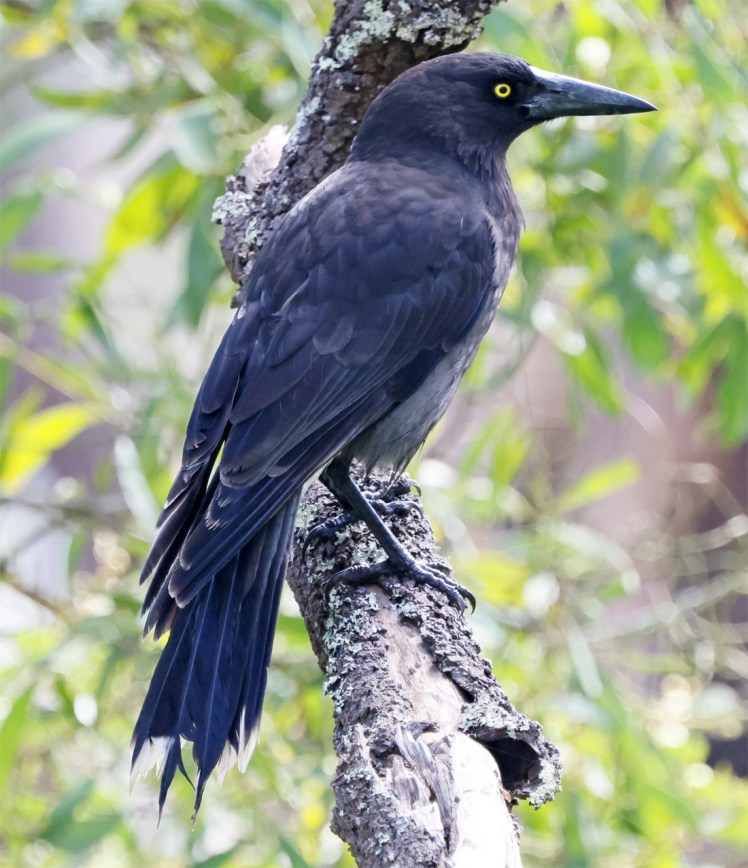
Grey currawong
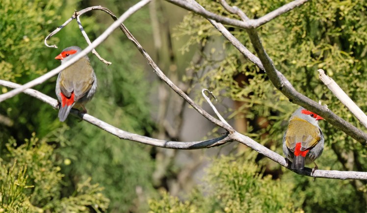
Red-browed finches
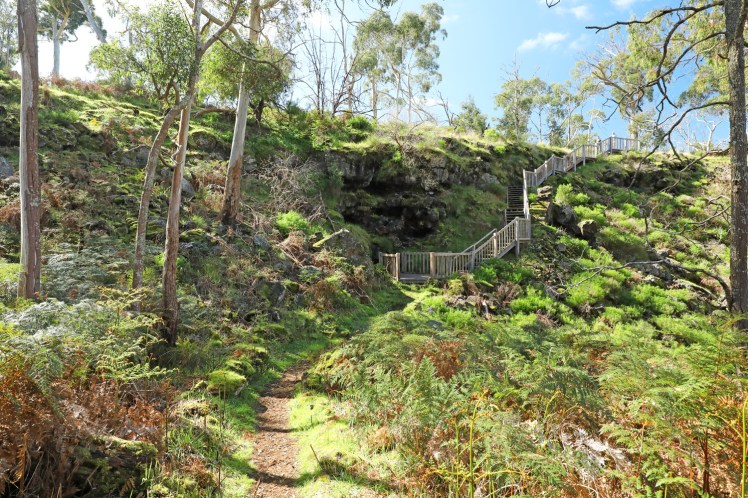
We return past the Lava cave entrance
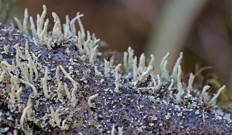
Lichen
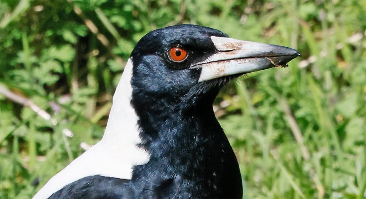
Maggie
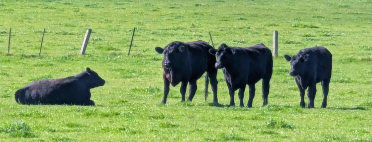
We drive to another section of Budj Bim National Park past green farmland. There was a standoff in the paddock – the stakes were high.
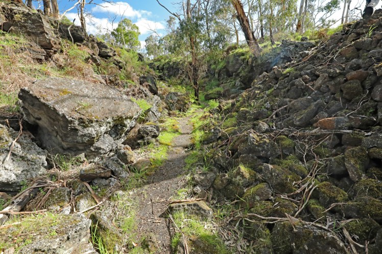
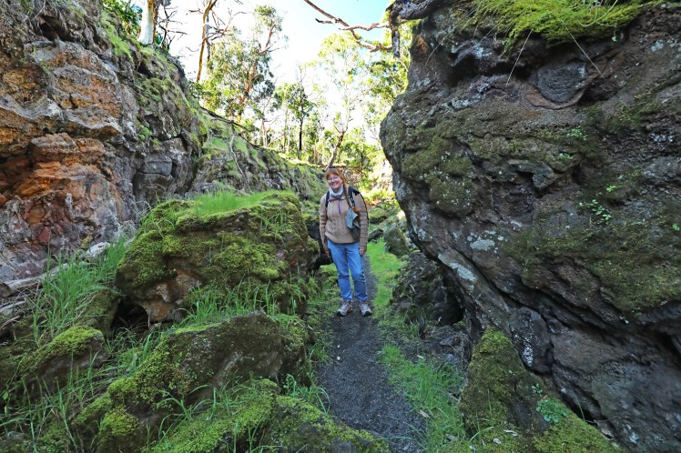
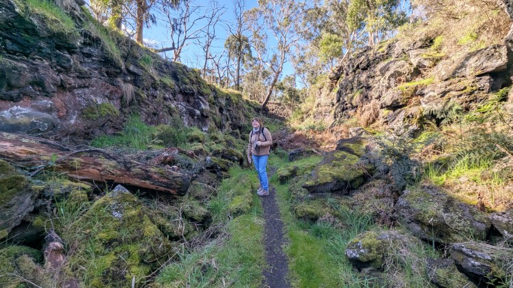
The walk along another lava canal to the Natural Bridge.
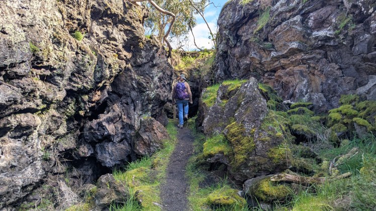
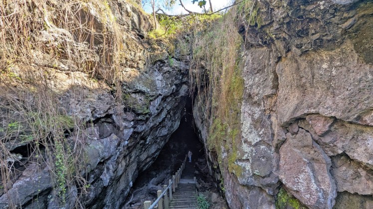
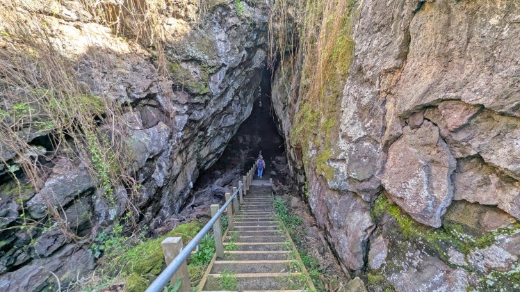
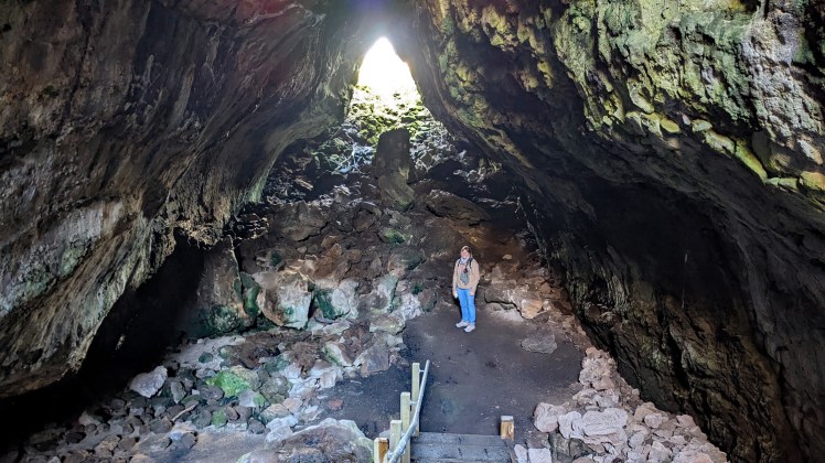
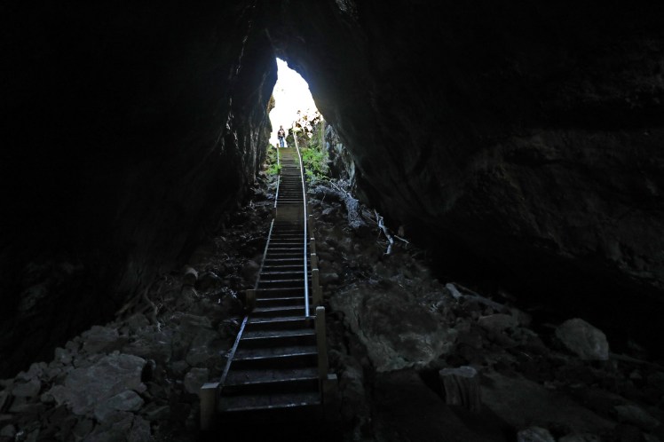
Natural Bridge where the lava canal becomes a lava tube cave
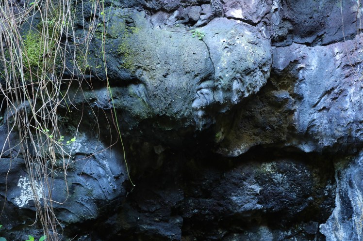
Flow patterns from the viscous lava
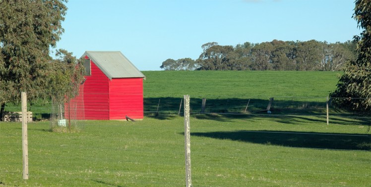
A “not boring” farm shed
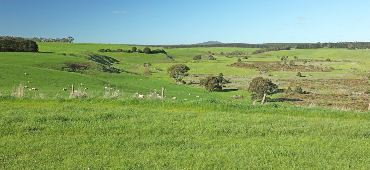
Harmans Valley Lookout – the view was worth the price of admission.
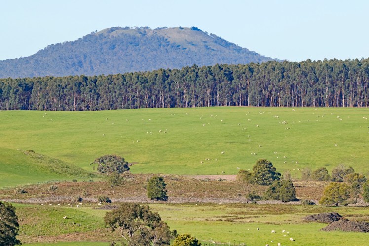
Mount Napier, or Tapoc in the local Gunditjmara language, has a composite lava shield with a superimposed scoria cone. The cone rises 150 metres above the surrounding plains to an elevation of 440 metres making it the highest point on the Western District Plains of Victoria.
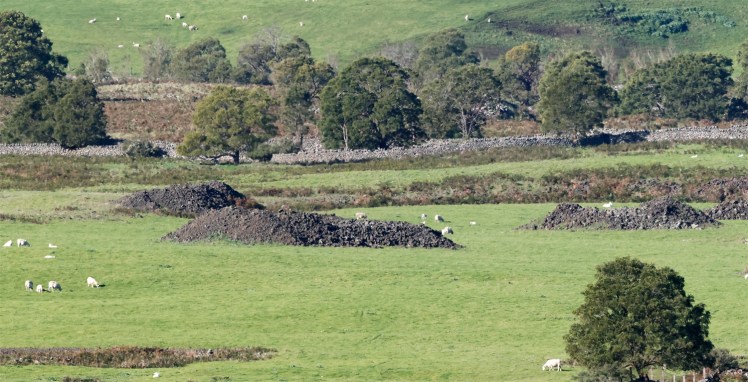
Mount Napier Lava Flow followed the Harman Valley west from the volcano. Lava blisters or tumuli occur along the flow – these are house-sized mounds of basalt rocks. They are formed by the pressure of liquid lava pushing up against the crust.
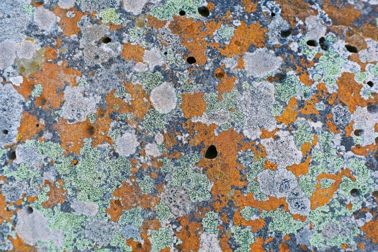
Lichen on the basalt
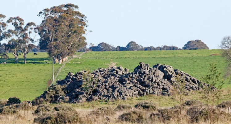
A drive down Old Crusher Road leads to one of the best examples of lava blisters in the world.
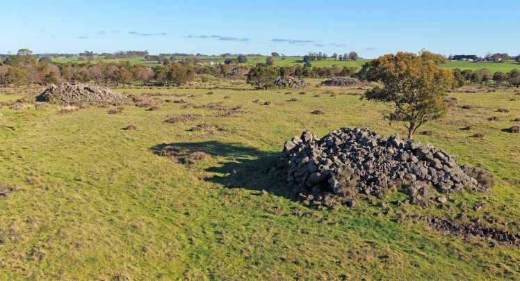
Drone view of the lava blisters
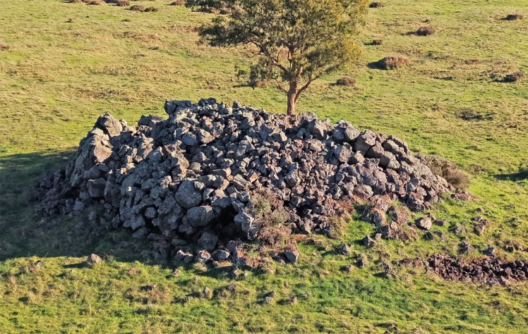
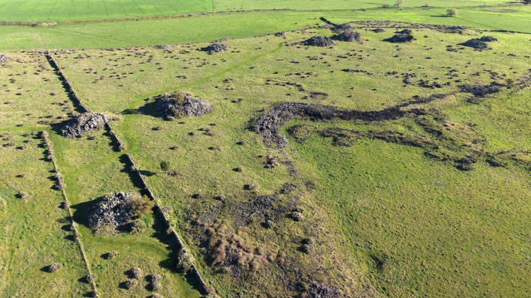
The extent of the lava blister field from the drone. This area is geologically famous as one of three places on Earth where they occur. The others are in Africa and Iceland.
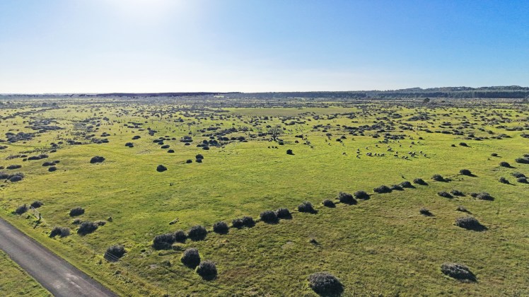
Lava plains adjacent to the lava blisters.
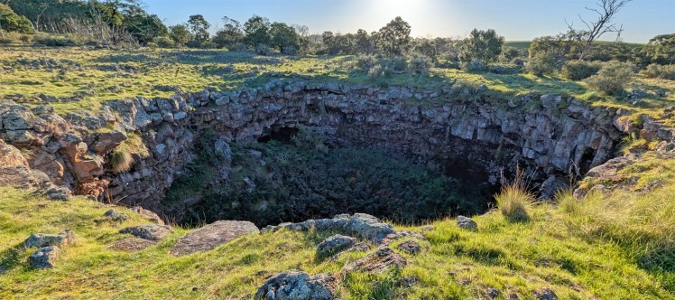
Byaduk Caves are the most extensive set of lava caves in Australia. The caves form a connection of underground tubes, created when the lava from nearby volcano Mount Napier solidified on the surface and molten lava continued to flow underneath. They are around 30,000 years old.
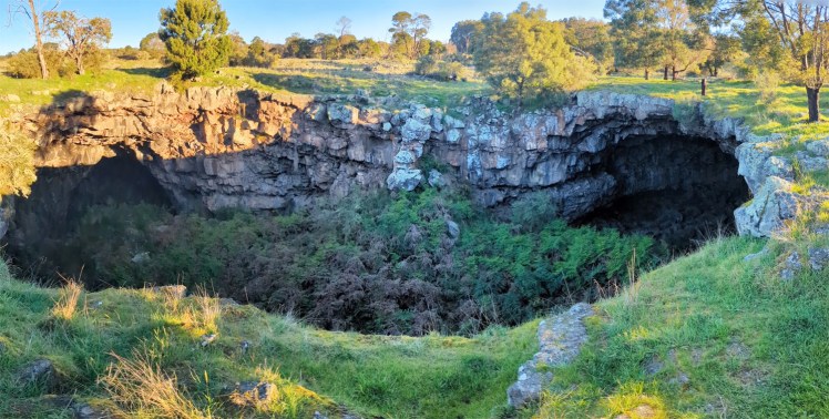
The largest of the caves measures 18 metres wide, 10 metres high and 20 metres below the surface.
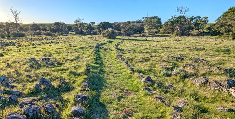
The basalt and scoria lined path at Byaduck Caves.
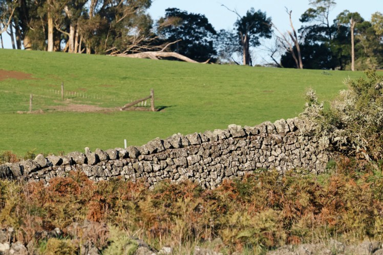
Historic drywall fence at Byaduck
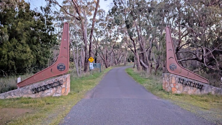
The entrance to Wannon Falls
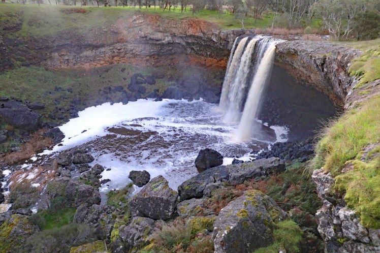
Wannon Falls plunge over a basalt lava cliff dropping into a large plunge pool 30 metres below. The Wannon River has its headwaters in the Grampians.
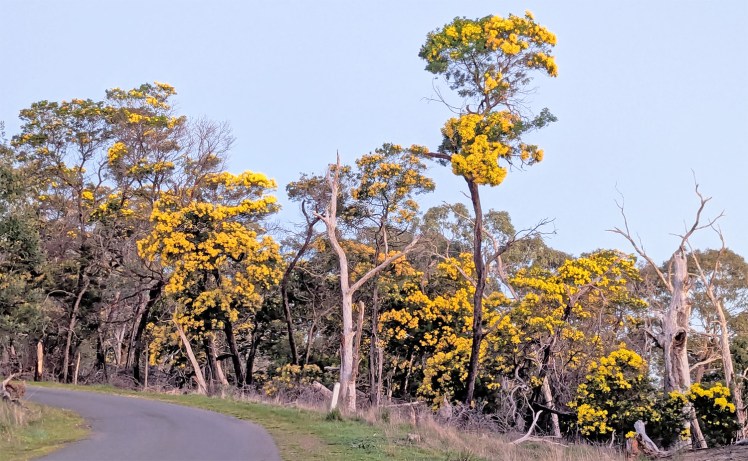
Very tall wattle species in the volcanic plains area.
We stay in Hamilton for the night.

