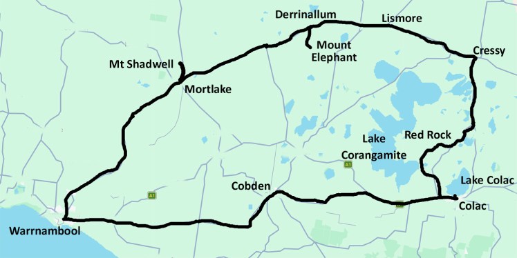
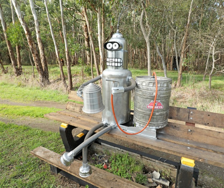
On a country road between Warrnambool and Cobden, we found Bender.
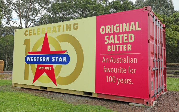
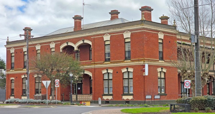
Cobden is prime dairying country and the home of Western Star butter.
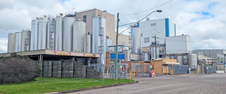
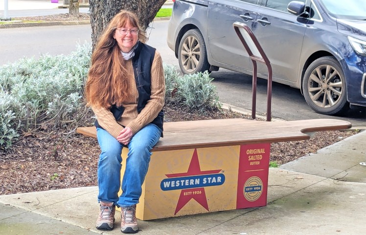
Western Star butter benches on the four corners in the middle of town.
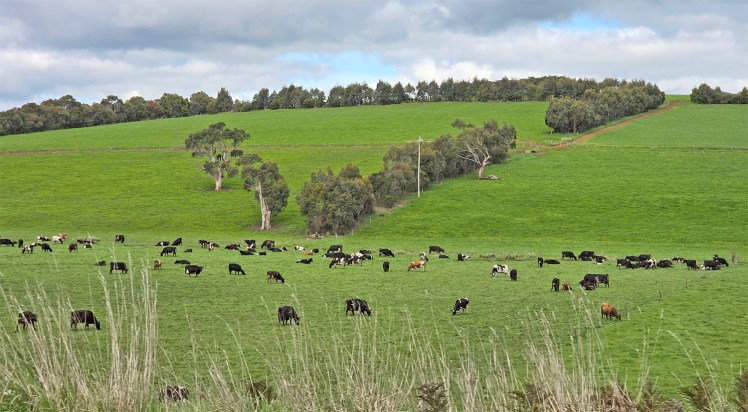
Dairy farm near Cobden
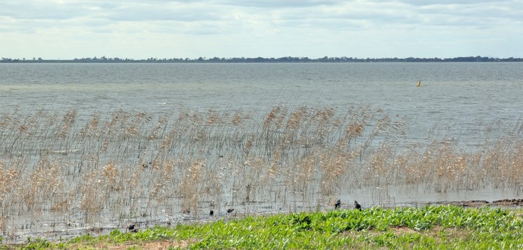
Lake Colac is the largest natural freshwater lake in Victoria. It is very shallow, with an average depth of 2.5 metres. Lake Colac formed by volcanic activity that blocked local creeks. It has completely dried up during severe droughts in the past, such as in 2009 and 2016.
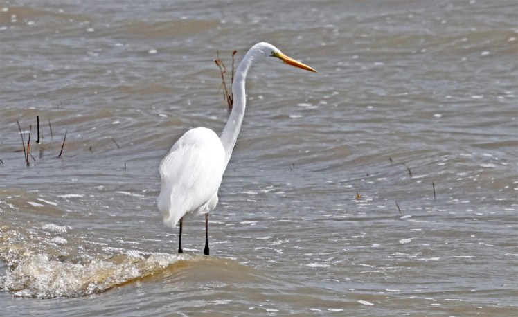
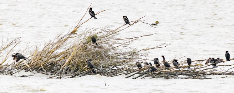
Birds at Lake Colac – Great egret (above) and Great Cormorants (below)
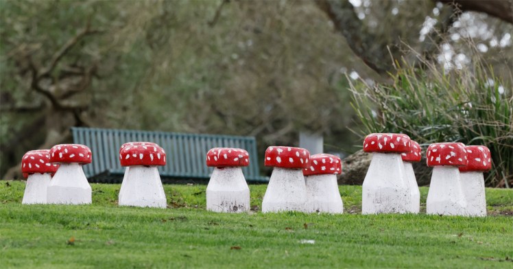
These were installed by a fun guy.
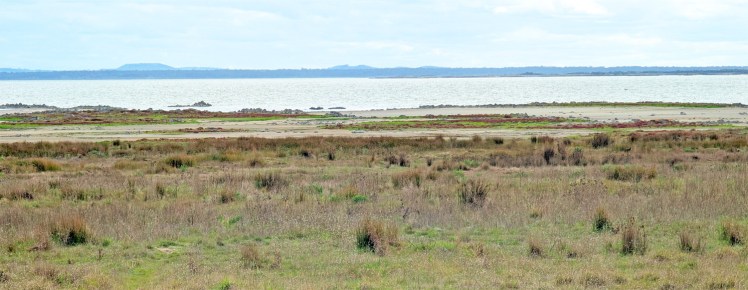
Lake Corangamite is Australia’s largest permanent saline lake. The lake is highly hypersaline—often three times saltier than seawater. It’s name is derived from the local Aboriginal word meaning “bitter” or “salt water”. It is recognized as a Ramsar-listed wetland of international significance, serving as a major haven for migratory and water birds.
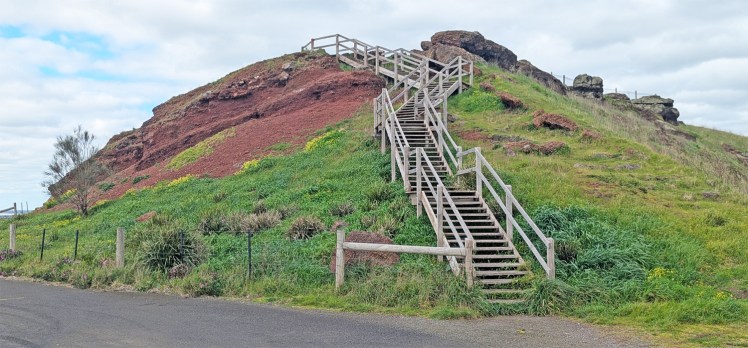
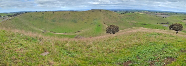
Red Rock maar complex.
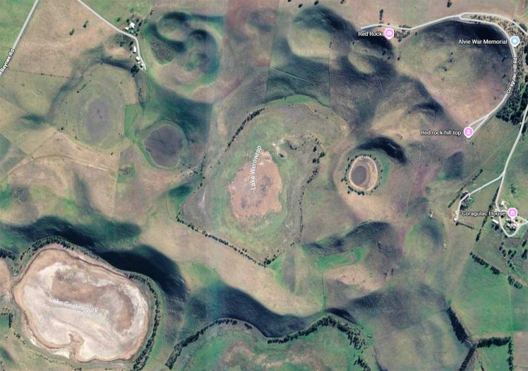
Red Rock has complex terrain includes overlapping maars, scoria cones, and small lava flows. (Image: Google Maps)
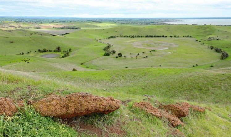
Maars are caused by a volcanic eruption when hot magma came in contact with groundwater creating a very volatile explosion.
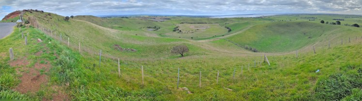
There was nothing to maar the great view!
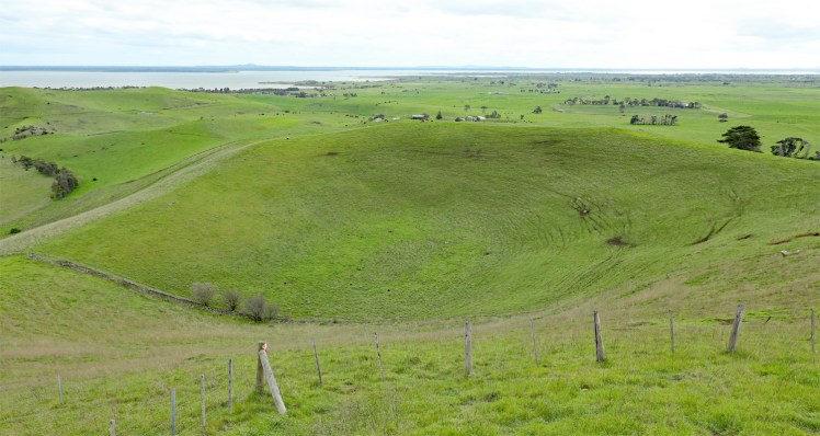
Volcanic landforms
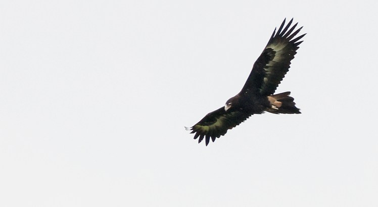
Wedge-tailed eagle soaring high in the sky
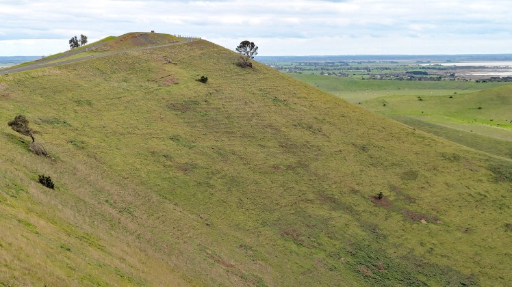
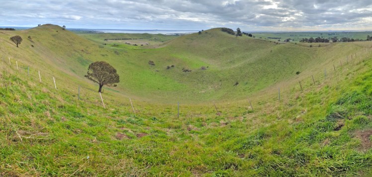
Red Rock Hilltop
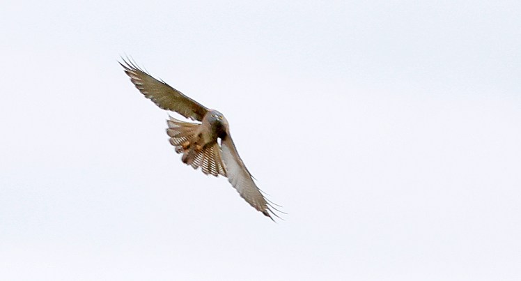
Brown goshawk
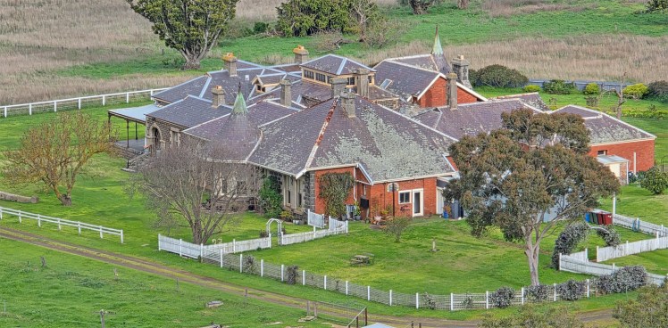
Coragulac House (1873) built by the son of the original colonist in this area.
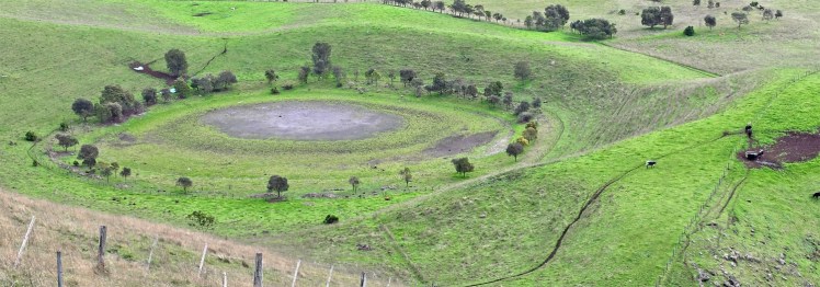
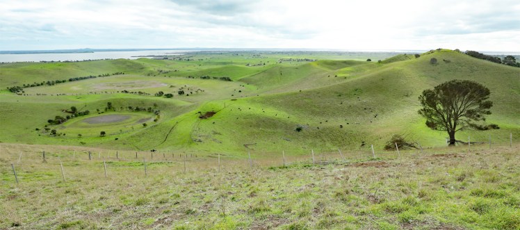
Lake Corangamite in the distance
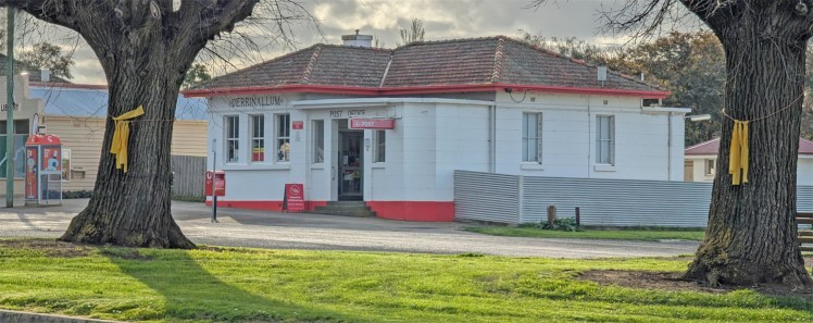
Derrinallum – the town near Mount Elephant with yellow ribbons around the old oak trees.
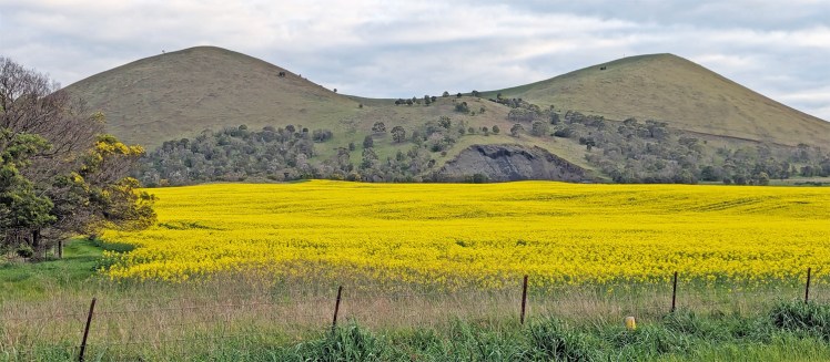
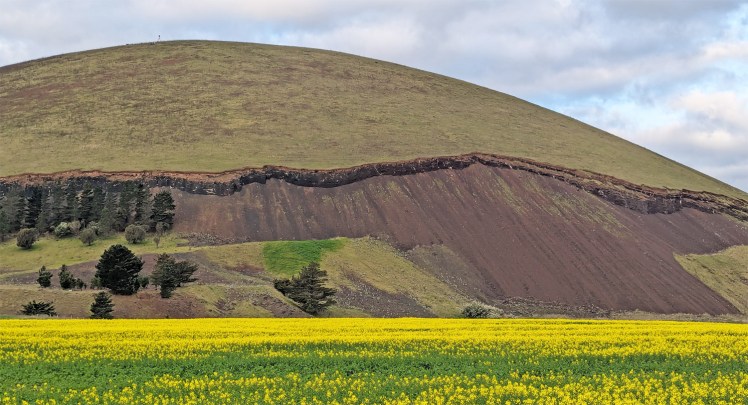
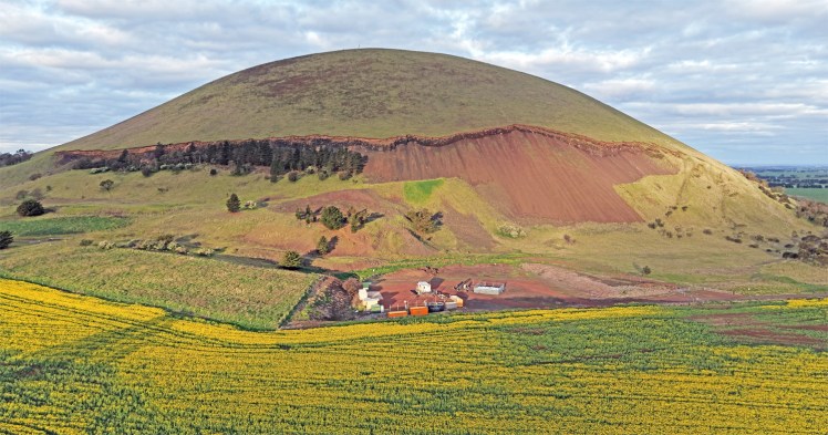
Mount Elephant is a 380-metre-high conical breached scoria cone. Scoria cones are small volcanoes with relatively steep sides, usually formed as the result of a single major eruption. Lava lakes often form in the centre of scoria cones. Sometimes the lava breaches the side of the cone such as the one here. The access road was locked – open only on Sunday afternoons. We didn’t even have access to the lava-tory.
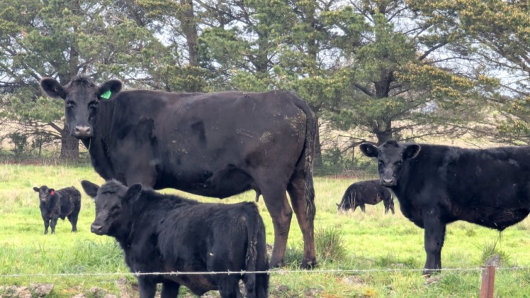
The caretakers weren’t mootivated to give us access.
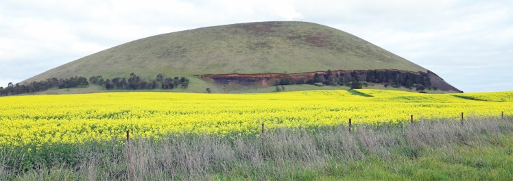
Mount Elephant from the north-west.
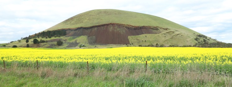
The quarry scar from the west.
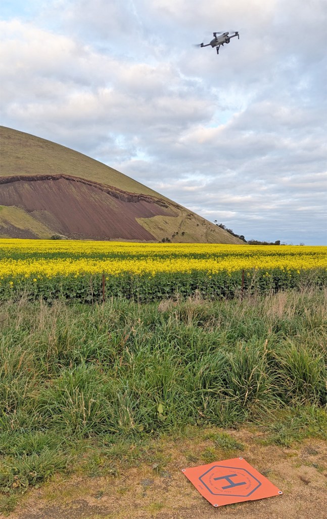
Take off!
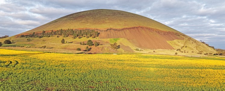
Drone images of Mount Elephant from the west.
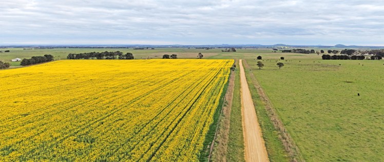
Looking south to other scoria cones in the distance.
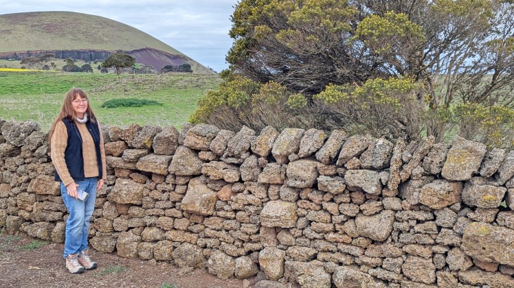
Corangamite Dry Stone Wall Site shows one of the stone walls which can date back to the 1840s although most were constructed in the 1870s. The scoria rock was plentiful for construction and the art of stonewalling was a hard job with skills handed down through generations. I assume the stonewallers were also skilled at avoiding conversations and ignoring some people.
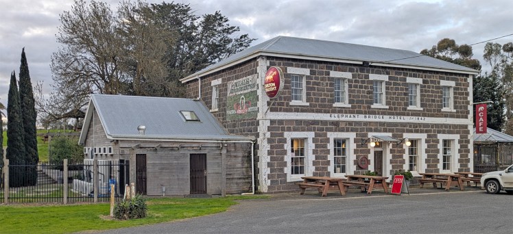
Elephant Bridge Hotel (1842)
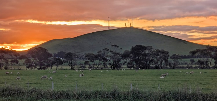
Mortlake is situated at the foot of a dormant volcano, Mount Shadwell. It formed 25,000 years ago. It is believed that it last erupted about 5,000 years ago. Mortlake is self-proclaimed as the olivine capital of Australia. Some of the large, ejected rocks from Mt Shadwell are called volcanic bombs. They are often egg shaped because they cooled as they were being thrown through the air. These bombs can contain olivine, a green crystal also known as peridot.
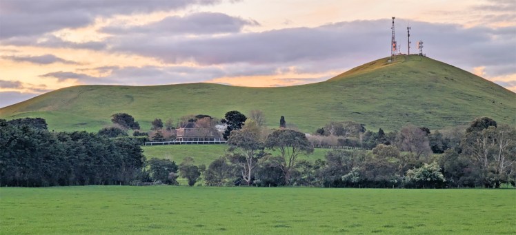
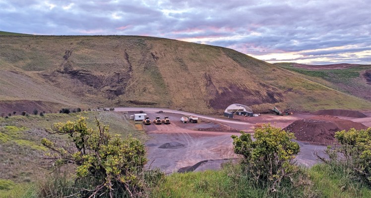
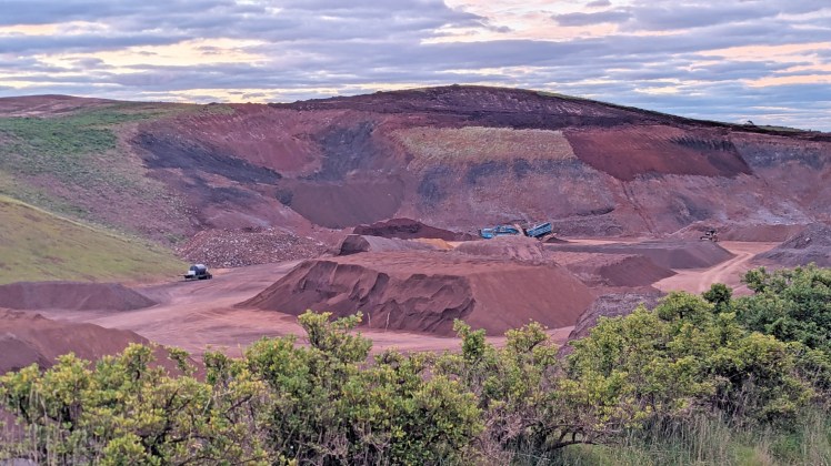
Mt Shadwell Quarry
We finished the day with a late drive back to Warrnambool from Mortlake.

