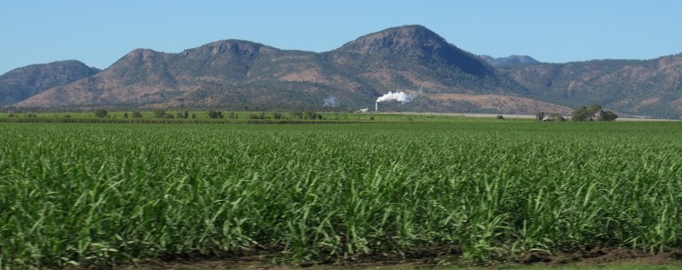
The drive from Mareeba west to Chillagoe looks like it is taking us into drier country and then the road descends into a valley of sugar cane with the Tablelands Mill actively processing sugar. This was built in 1997 and was the first mill to be built in Queensland in 75 years.
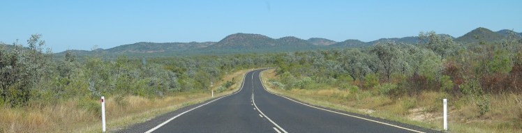
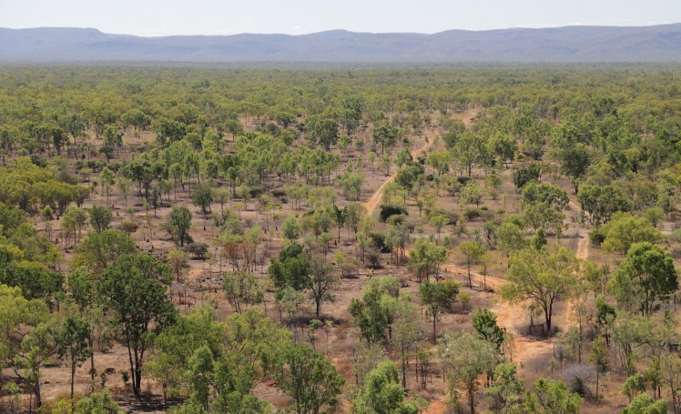
The farming communities beyond Dimbulah give way to ranges and cattle country.
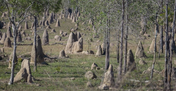
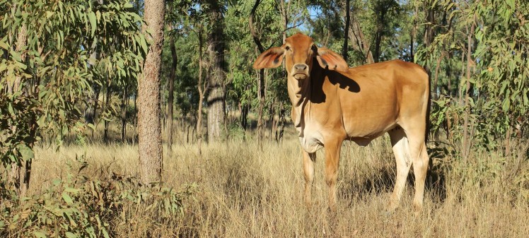
There are many cattle to be seen and even more termite mounds.
We named this one Jar Jar Binks.
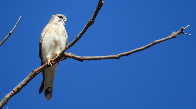
Birds of prey were everywhere including this Nankeen Kestrel.
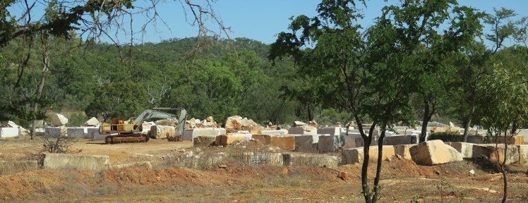
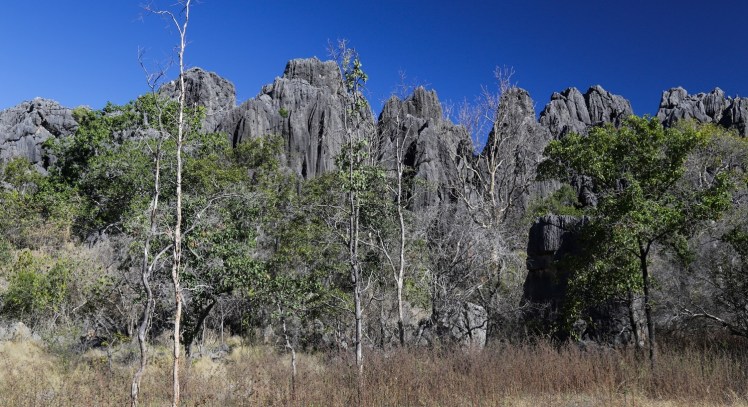
One of the first signs we were in limestone country was the marble quarry outside Chillagoe.
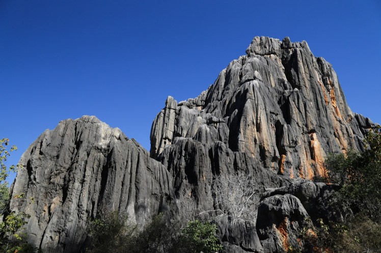
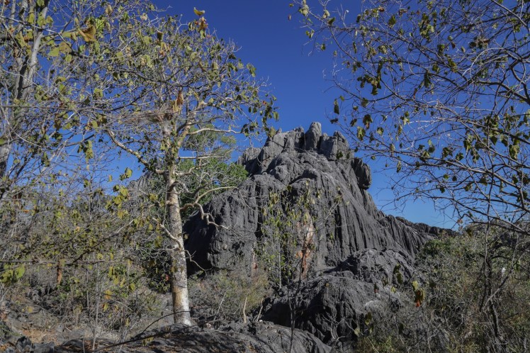
The towering limestone is a tropical karst with prominent water weathering of its surface dissolving the calcium carbonates and depositing them elsewhere.
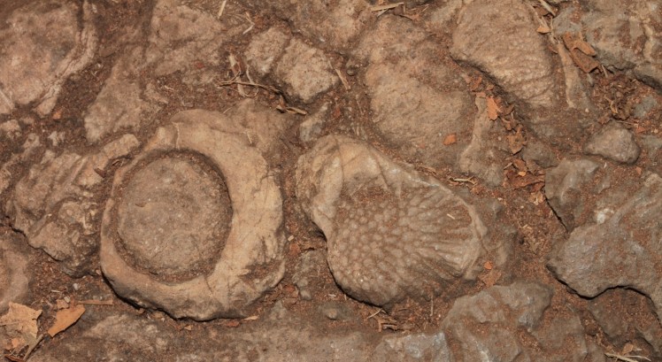
The limestones were deposited as coral reefs in an ancient inland sea – fossil creatures were common in rocks.
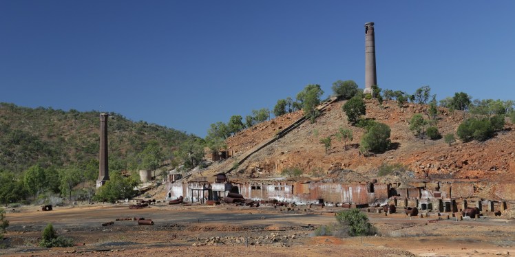
Copper, lead, silver and gold were mined at Chillagoe in the decade around 1900. The site has lookouts to view the scale of past mining.
The view north from Chillagoe towards the Hodgkinson Goldfields. My great great grandfather and great grandfather were on these goldfields in the late 1870’s.
The Mungana Archways are west of Chillagoe off the Burke Development Road that goes to Normanton (560 km without a petrol station west from Chillagoe).
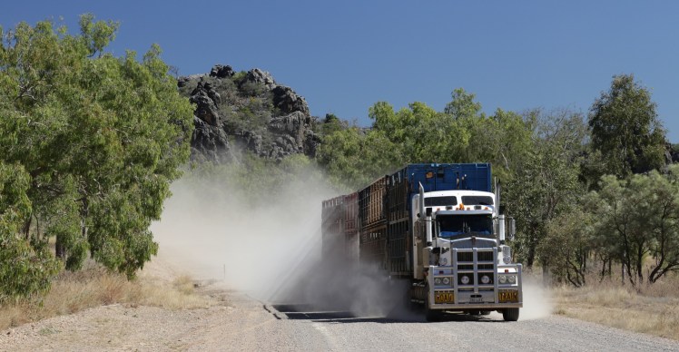
Road trains are common on this road – (the dust was so thick I put fog lamps and hazard lights on as visibility was about 5 metres in front of our car).
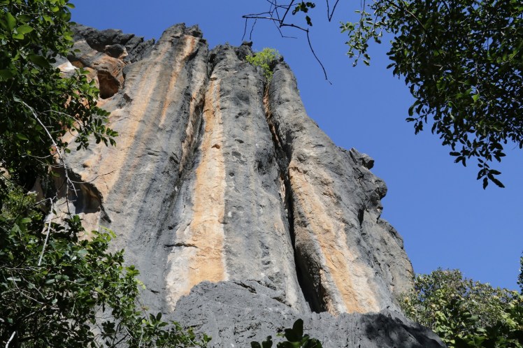
The Mungana Archways has a series of tunnel sections linked by small chasms under an impressive limestone bluff.
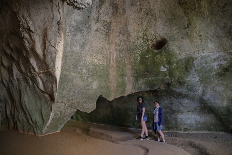
A track leads us deeper into the mountain.
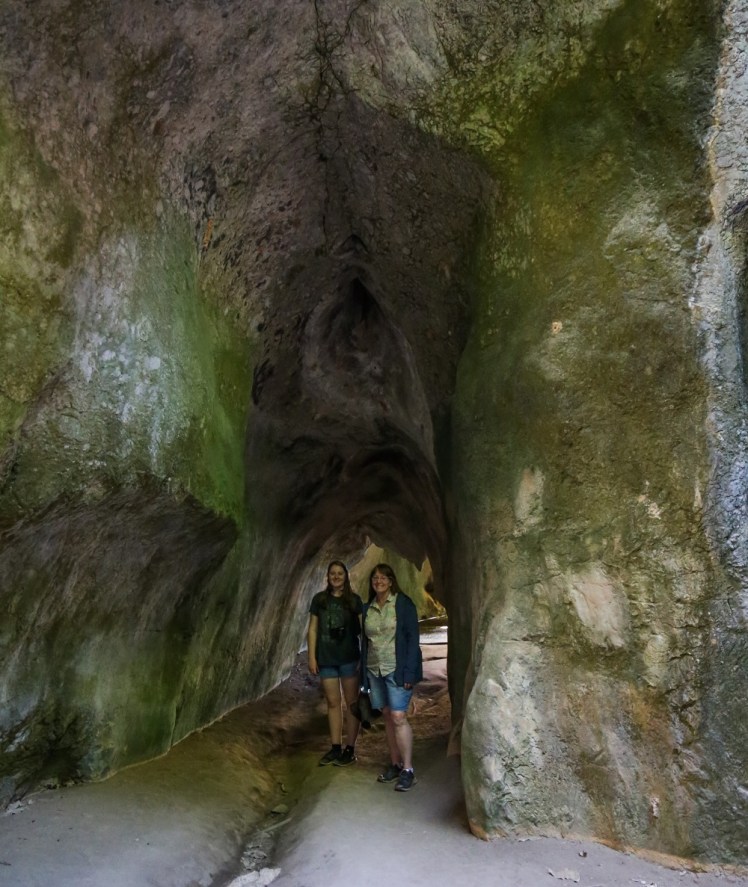
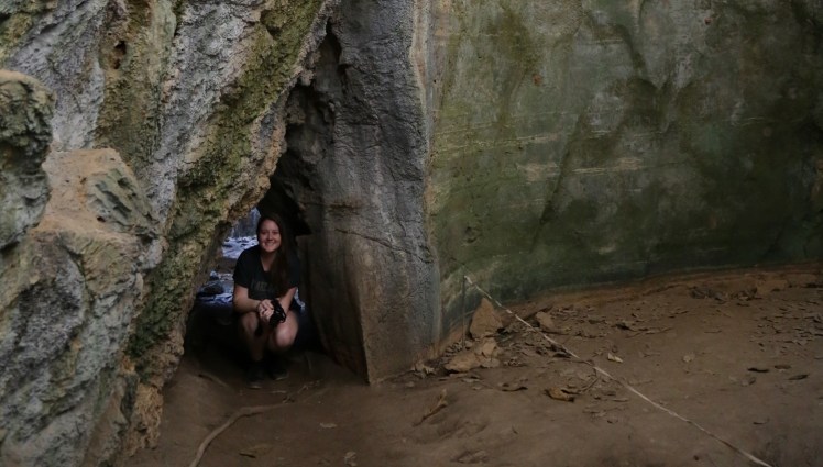
The track became increasingly confined at times.
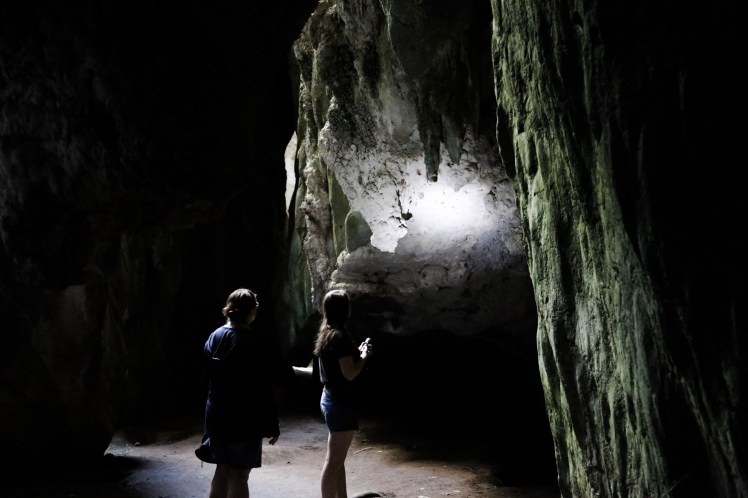
We explored into the cave system until darkness indicated it was best to turn back.
Rain made the rillenkarren on the limestone – dissolved limestone on the surface of the rocks forming small channels separated by sharp crests.
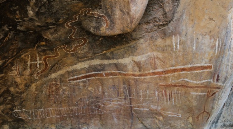
Aboriginal art sites occur in the limestone caves in the area.
The Donna section of Chillagoe-Mungana National Park contains three caves for tour and three more for adventure caving for experienced spelunkers.
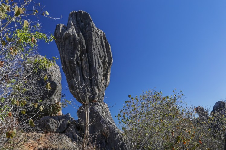
The Balancing Rock is in this section of park.


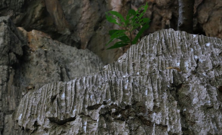
A range of interesting plants are found in this karst topography such as the native kapok and native fuschia. Bottle trees were also common.
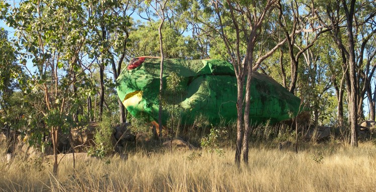
A very large frog between Almaden and Petford. Moloch?
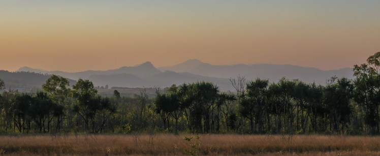
A smoky sunset on the return to Mareeba.
