
We add an extra day by going directly east in the hope of seeing flowering waratahs at Gibraltar Range National Park. We travel the Gwydir Highway from Moree to Grafton which will take us from the western plains and across the New England Tableland and Great Dividing Range to the Pacific coast. The highway is named after the Gwydir River that runs west from the tablelands to the Barwon River near Collarenebri.

Pecan plantation near Pallamallawa

Silky oak at Gravesend

The narrow bridge over the Gwydir River west of Warialda has caused angst for some drivers.

The Gwydir River – sadly we didn’t see the Spider on the Gwydir. From the bush poem: By the sluggish river Gwydir lived a hungry red-backed spider, Who was just about as wicked as could be; An’ the place that he was camped in was an empty Jones’s jam tin, In a paddock near the showgrounds, at Moree.

Countryside near Warialda

Looking south to the ranges from Nancy Coulton Lookout

Warialda means the place of wild honey. The grass tree flowers are a popular food source for both native and introduced bees (above).

R2B2 was built by students of Warialda High School as an art project for the annual Honey Festival. Like R2D2, R2B2 is prone to bad language – they beeped out everything he said.

Cranky Rock is just east of Warialda.

Callistemon growing along the creek.

A walking track leads to the top of the rocks past a balancing rock and over the granite tors.


Nobbi Dragon lizard enjoying the sunshine.


The view west from Cranky Rock….

…and view down to the creek.

Inverell has some lovely heritage buildings like the Court House (1886).

Inverell Post Office (1904)

Inverell Town Hall (1905)

The Gwydir Highway gradually ascends the New England Tableland…

…but young Angus brings us to a stop.

It was udder chaos for a short time.

Notice the ear tags – they have all been cattle-logged.
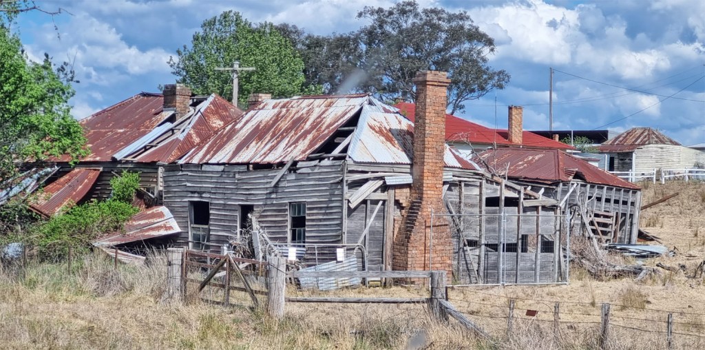
Your basic fixer-upper

After passing through Glen Innes, we near the edge of the national park where tall paper daisies line the roadside.


Track in the western part of Gibralter Range NP.

Rice flower (Ozothamnus diosmifolius)

Raspberry Hill Lookout

The first waratahs we see. I had seen them previously in bud but never full flowered. Mid-October is usually the optimum time to see them here.

The magnificent Gibralter Range Waratah (Telopea aspera)

This species is endemic to the Gibraltar Range.

The Gibralter Range Waratah’s nearest relative is the New South Wales waratah (Telopea speciosissima) with a range starting near Newcastle and south through the Blue Mountains and Sydney sandstone areas.


Granite Lookout view north-west

Boronia

Granite Lookout view north-east


Grey fantail

One of the locals

From Granite Lookout area, a steep gravel road descends into the rainforested valley of Washpool National Park.

Coombadjha Creek

After crossing the Great Dividing Range at 1100 metres above sea level, we descend the steep winding road to the Clarence River valley and Grafton. A dinner at the ever reliable Ulmarra Hotel followed by a late drive to Yamba for the night completes another long day.
