Norseman to Border Village 721km
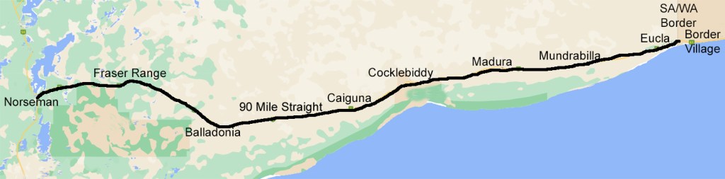
Pre-dawn glow as we leave Norseman. It is fitting that we see a mining train on our last day in WA as mining is so evident throughout the state.
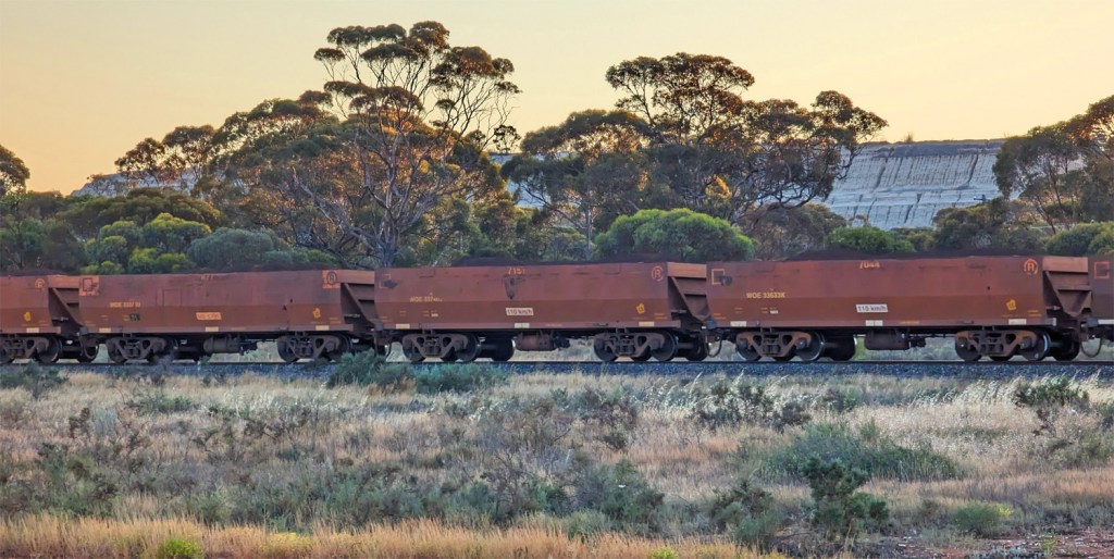
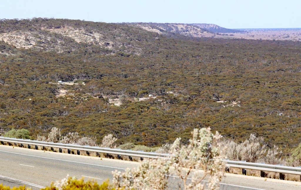
Sunrise as we reach the eastern edge of the Great Western Woodlands.
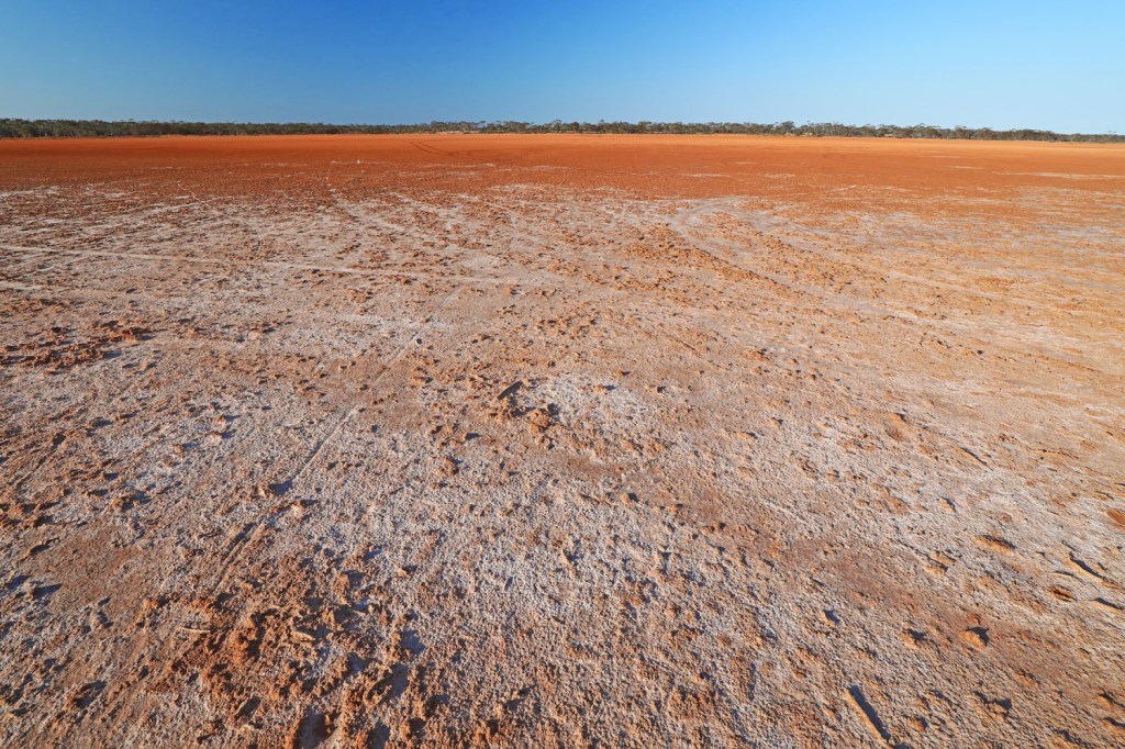
Our last WA salt lake at Southern Hills Rest Area – the salt lakes are both iconic and ionic.
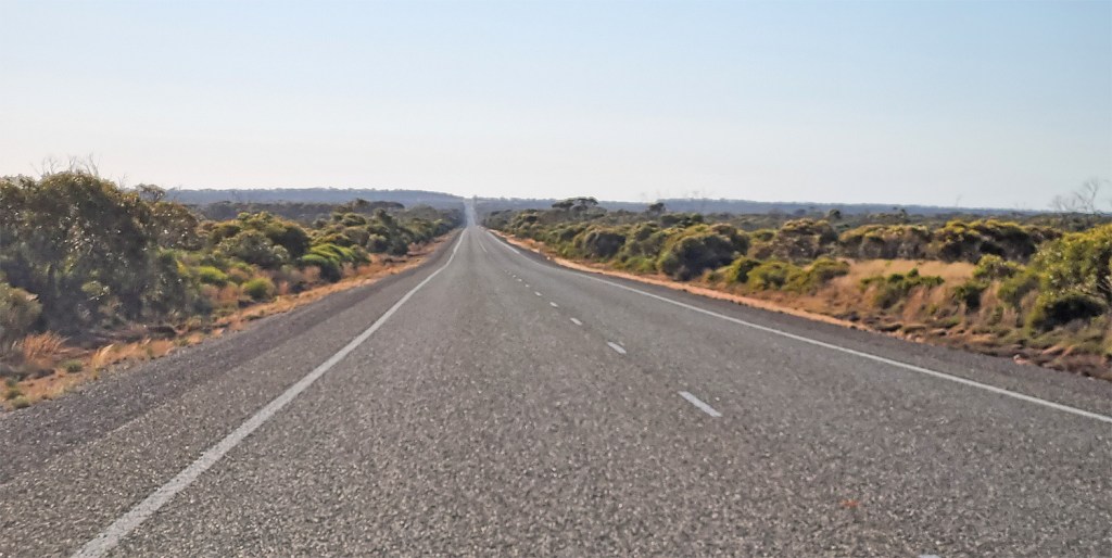
The road to Balladonia
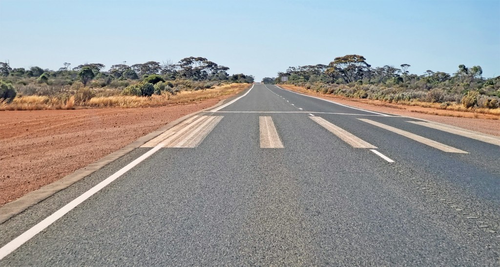
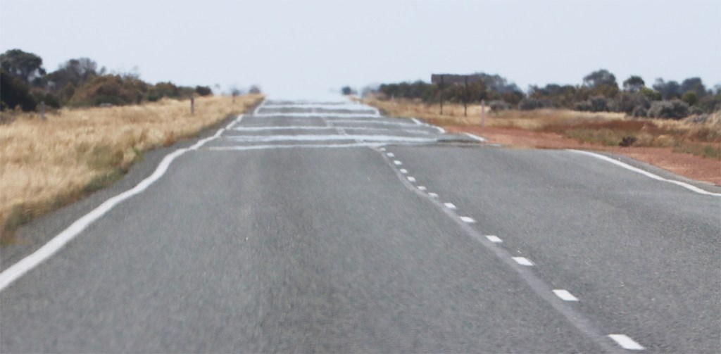
Royal Flying Doctor Service highway runway – a vital service in the outback. The only medical facilities in the 1200km between Norseman and Ceduna are a Nursing Post and ambulance at Eucla.
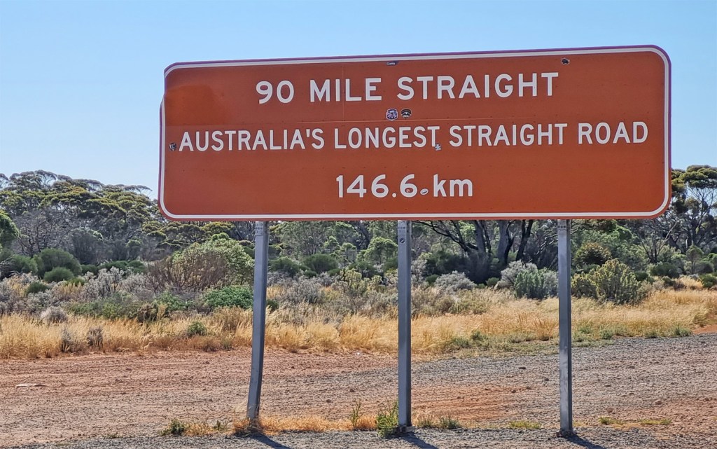
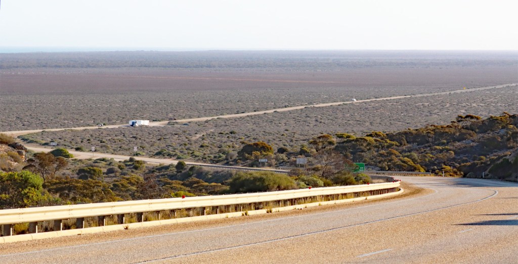
90 Mile Straight revisited – “I wanna be straight, I wanna be straight; Come out of the cold and do what I’m told and don’t deviate” – Ian Dury and the Blockheads
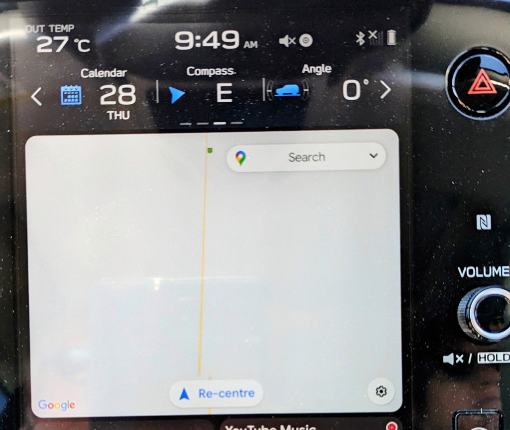
The SatNav was a boring screen.
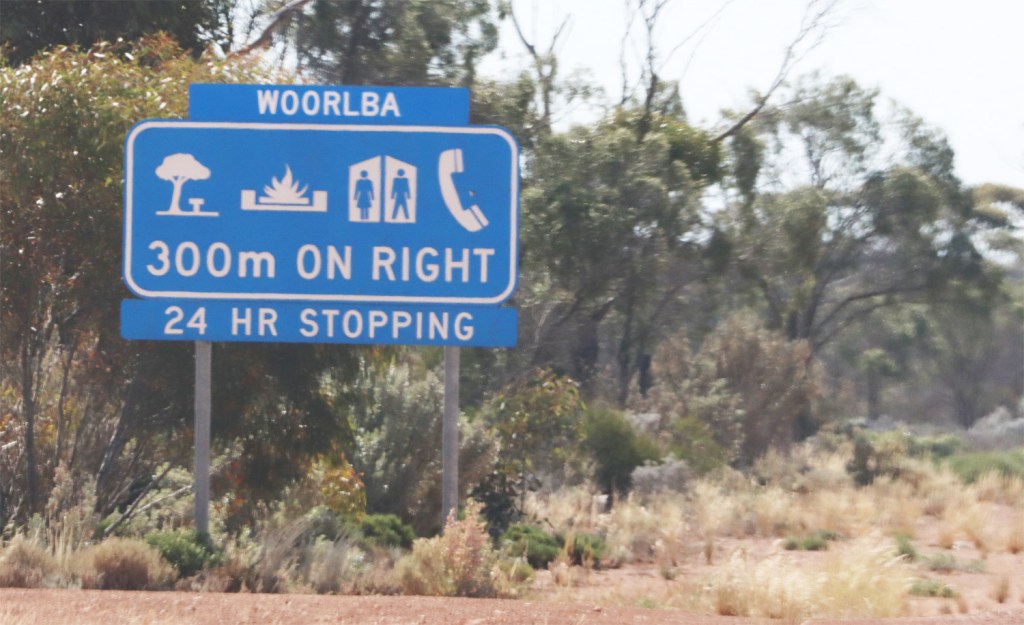
Mr Ed’s favourite rest stop.
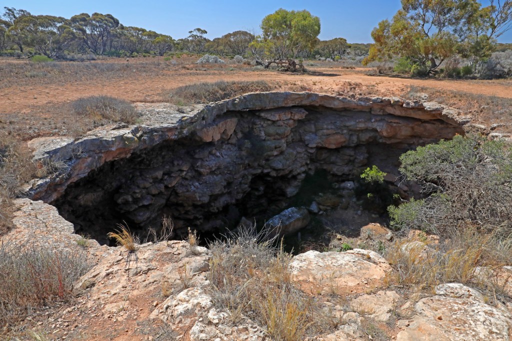
Murra-el-elevyn Cave near Cocklebidddy in Nuytsland Nature Reserve
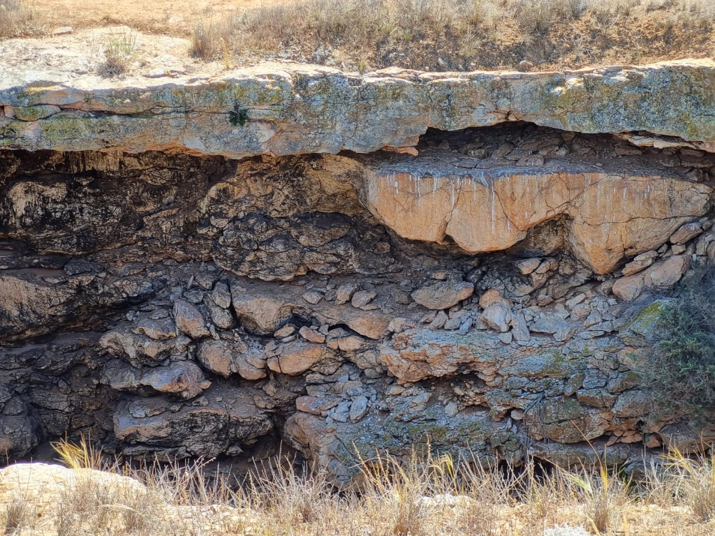
A rush of cool air greets us near the entrance. Swallows nest here and Little chocolate bats roost in the caves below. There is no safe entry but experienced cavers and geologists have visited the 300-metre long main tunnel and two interconnected networks, one half filled with water and the other completely filled.
Nuytsland Nature Reserve is huge and runs from the highway south to the coast and then west to Cape Arid National National.
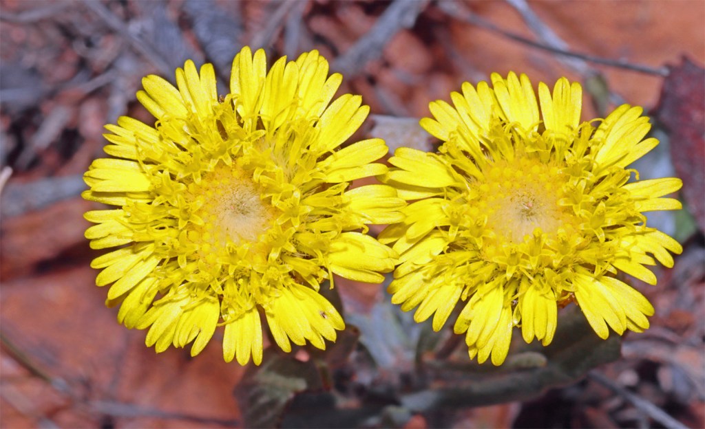
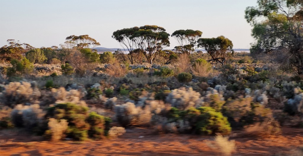
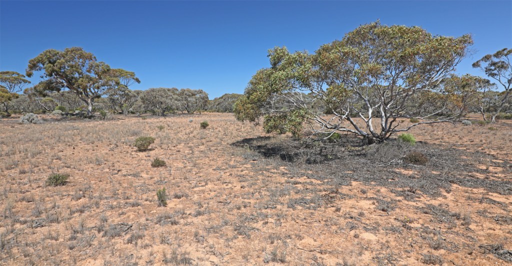
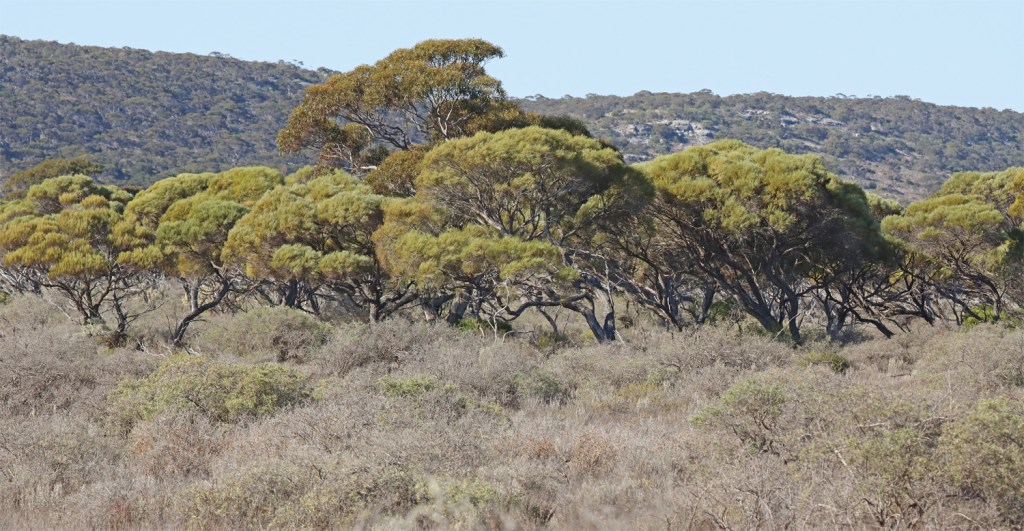
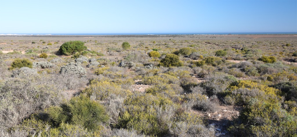
There is the occasional splash of colour near the ground….
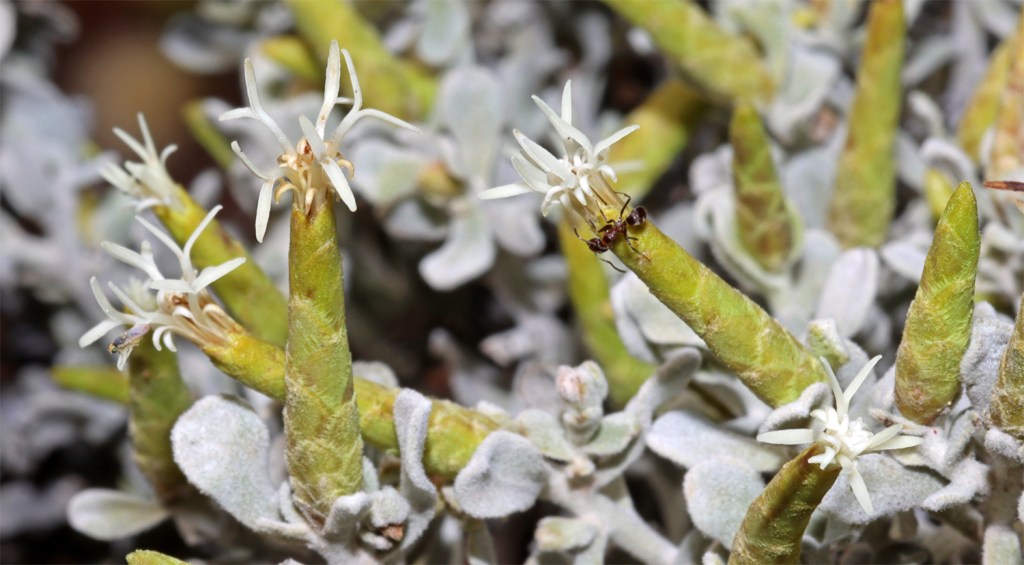
…but most plants are grey-green to reflect the heat as they have adapted to the harsh environment.
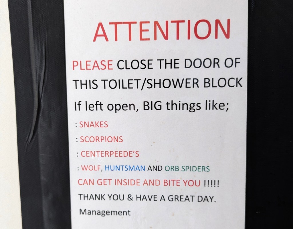
Helpful message on the toilet block door at Cocklebiddy Roadhouse.
Madura Pass where the highway descends onto the Roe Plain along the coast between here and Eucla.
Roe Plain from Madura Pass Lookout
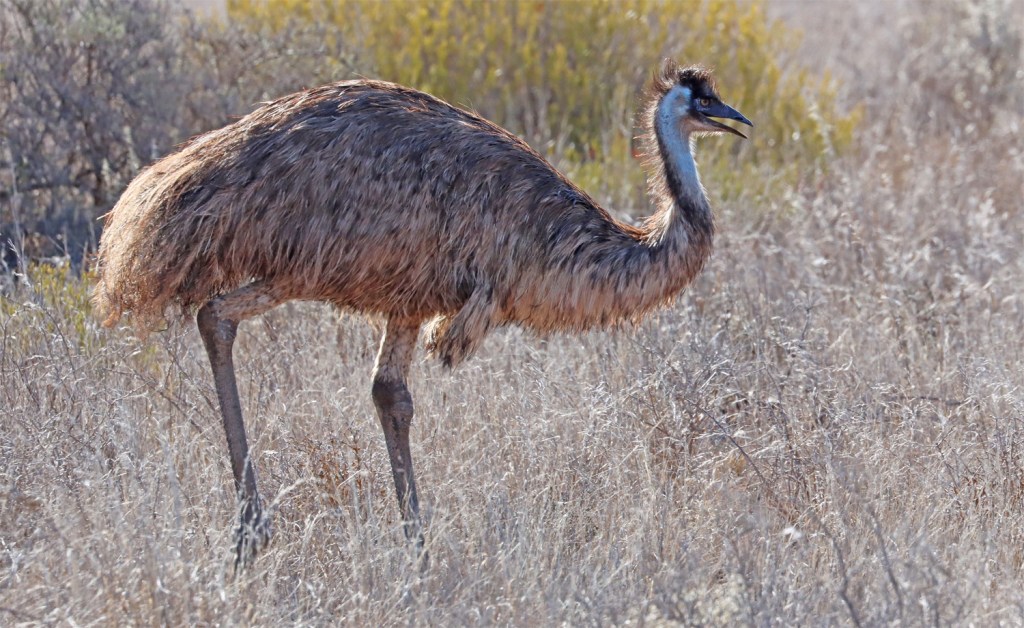
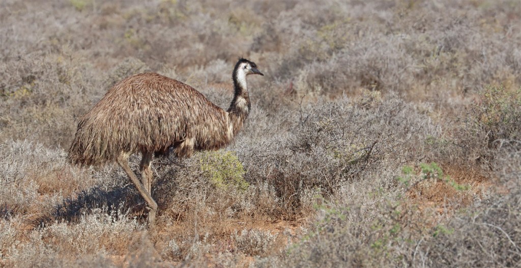
We see some emus near Mundrabilla.
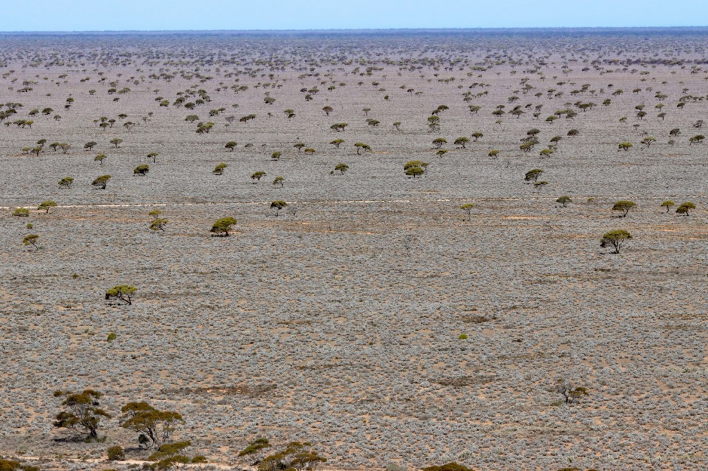
The Eyre Highway traverses the Roe Plain for 180km with the scarp in view to the north the entire way…
…and the ocean never far away to the south.
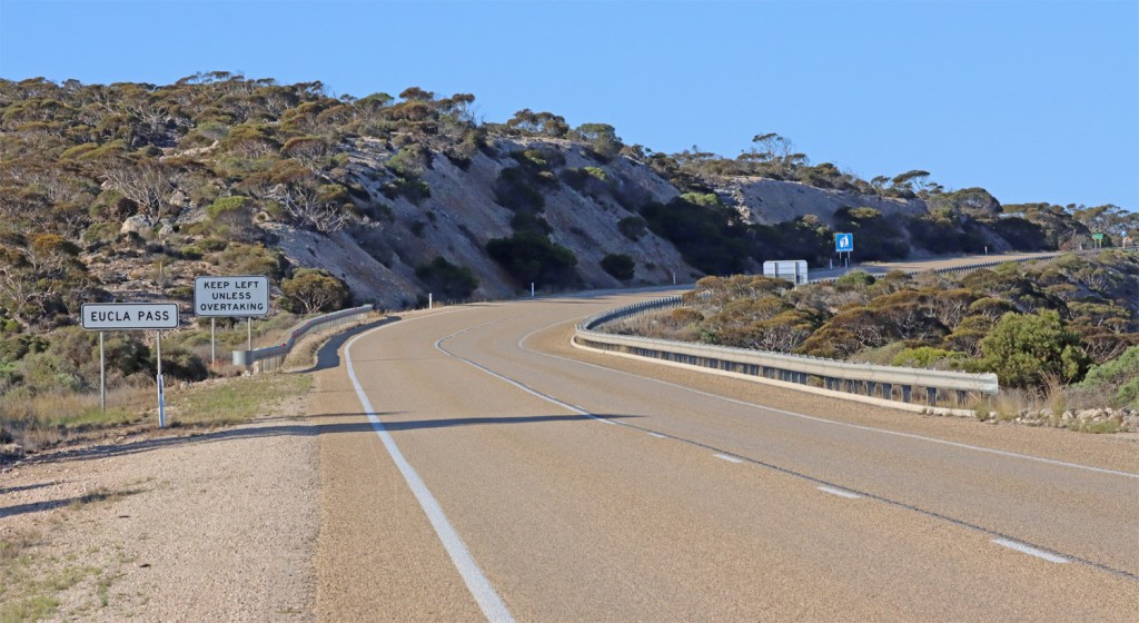
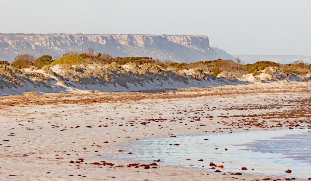
The highway ascends onto the Nullarbor Plain at Eucla Pass. This cliffline will cut the coastline and become the famous Bunda Cliffs.
Looking back westwards.
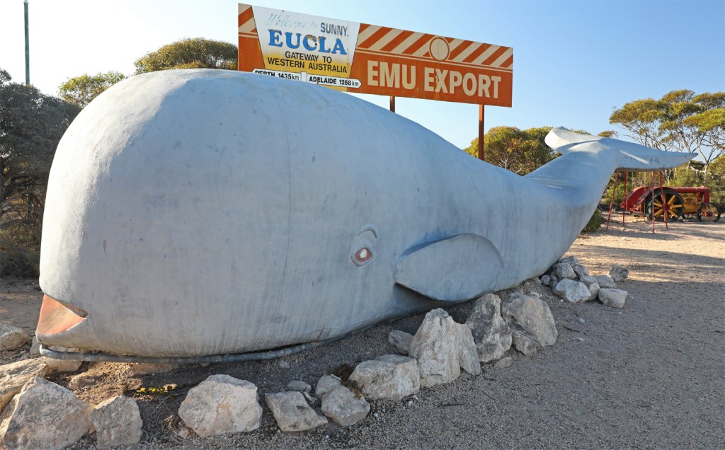
Eucla Roadhouse has a Big Whale…or is it a little whale?
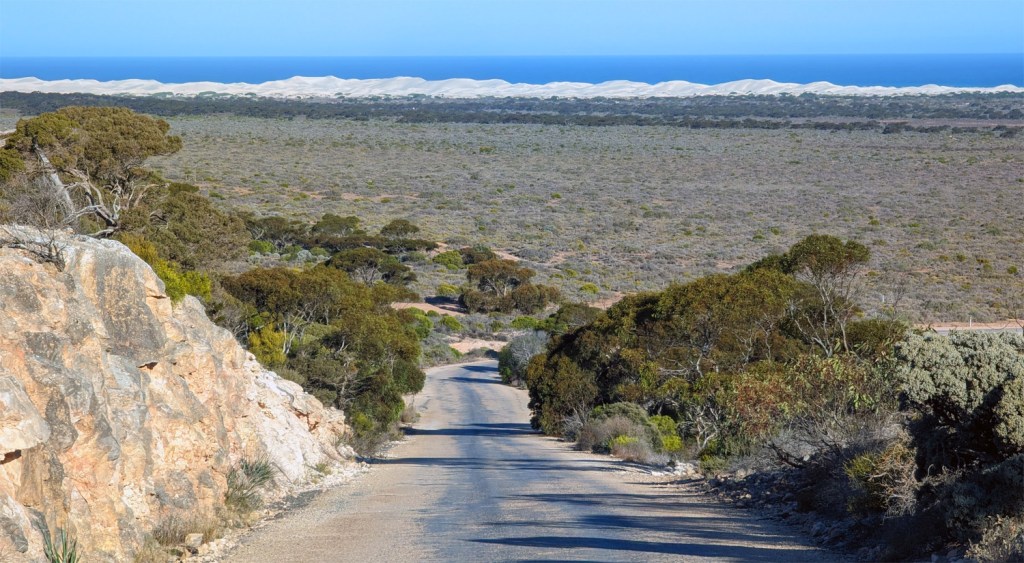
The road from Eucla to the Old Telegraph Station
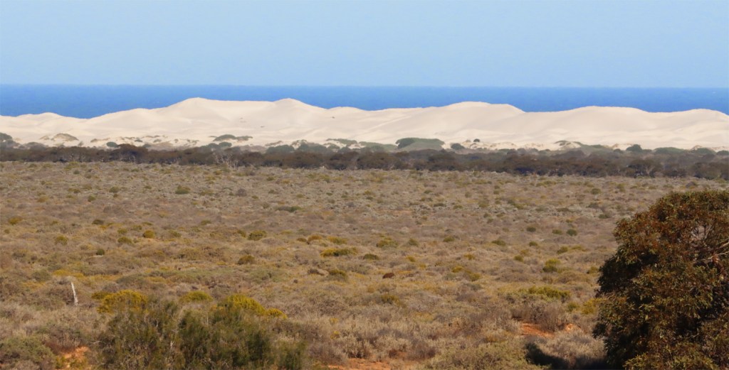
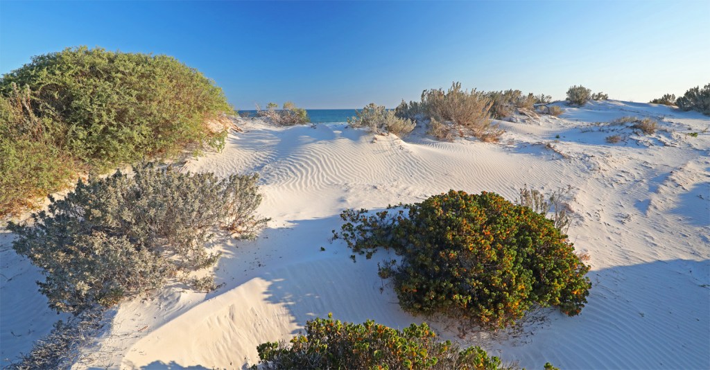
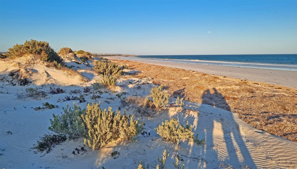
Large dune systems dominate the coastal landscape.
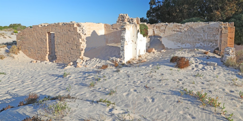
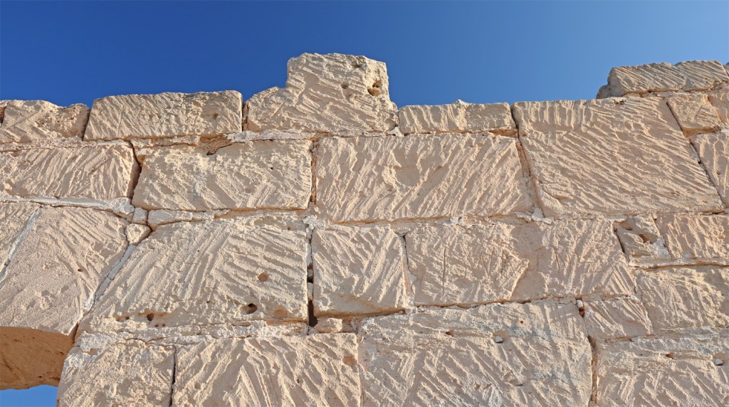
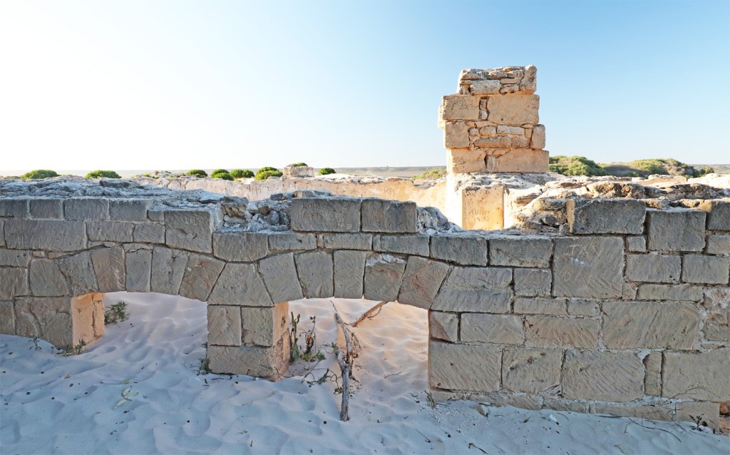
The Eucla Telegraph Station (1877) is in ruins with much of the original township here buried by the sand dunes which destabilised during a rabbit plague in the 1890s. The hardiness of the rabbits here was well known – even Elton John sang about them, “It’s a little fit bunny….”
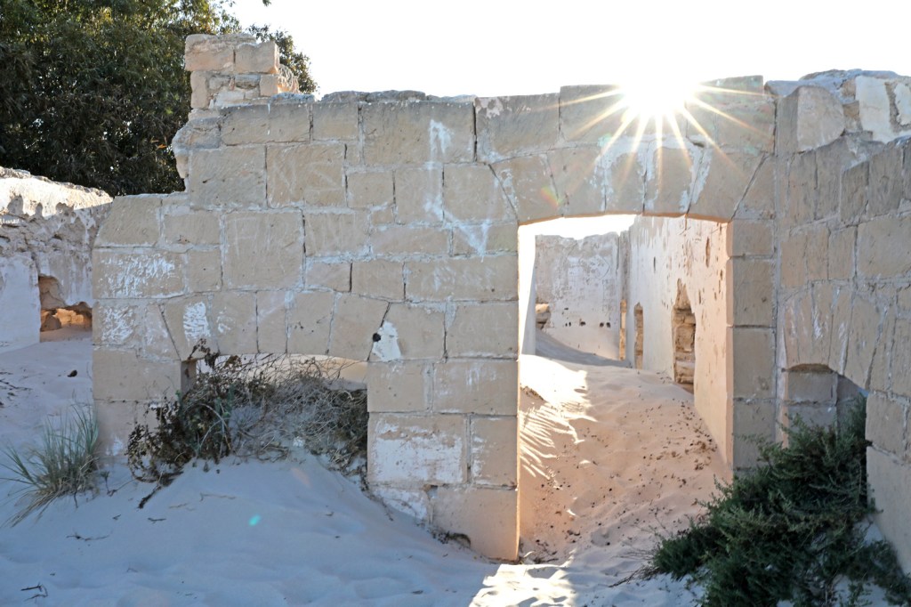
The Eucla Telegraph Station was different from the rest of the stations as before Federation in 1901, SA and WA operated different morse code types and there was a row of telephonists from each state at the border facing each other handing messages across the table to be retransmitted. A common morse code was used after Federation.

Eucalyptus at the Old Telegraph Station
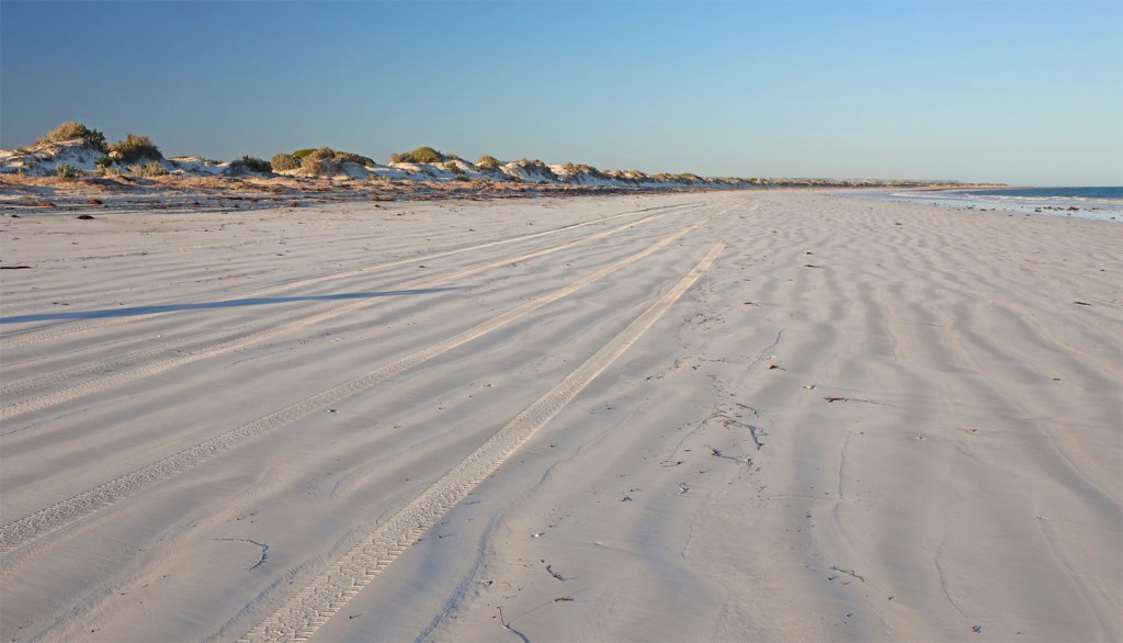
The walk to the beach goes across dunes and over limestone pavement.

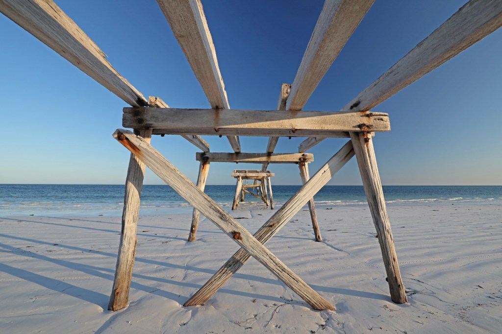
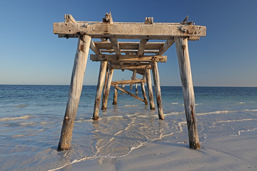
Old Eucla Jetty enabled the Telegraph Station to be resupplied.
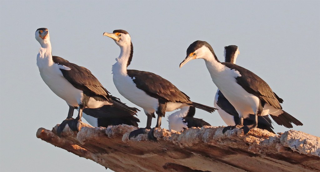
The Pied cormorants liked it here.
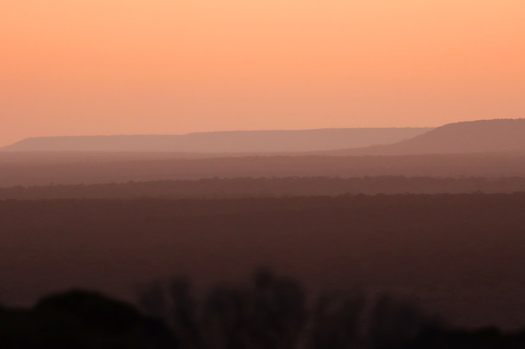
Twilight glow looking west along the escarpment from Eucla.
SA-WA Border. We sadly say farewell to WA after 71 days in the state. We lose 45 minutes at the border. You win some, you lose some.
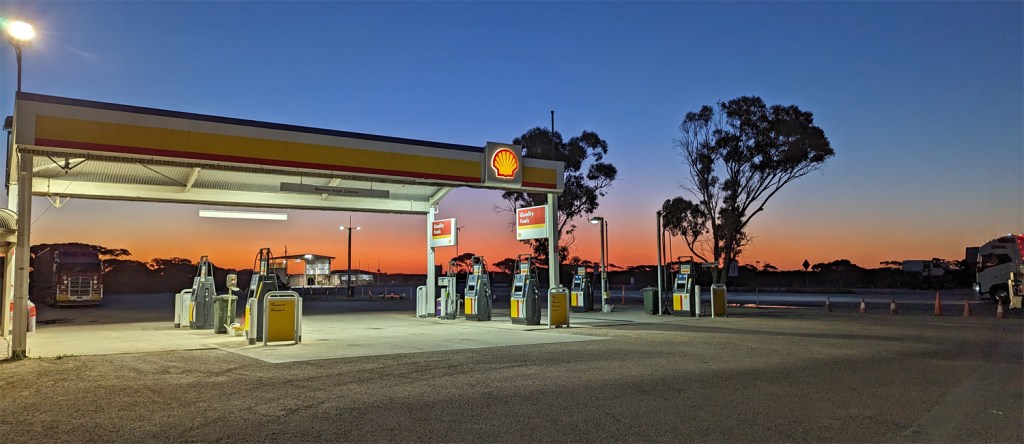
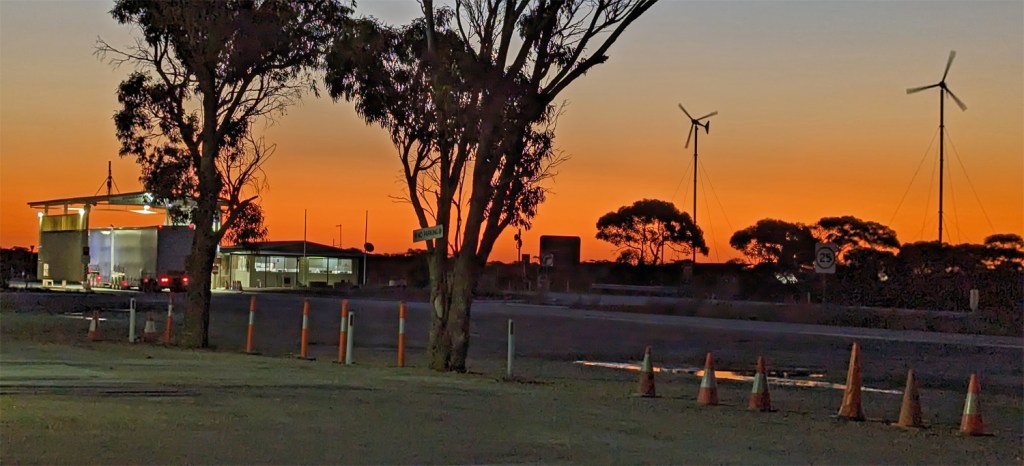
We again stay at Border Village Roadhouse – one of nine between Norseman and Penong.
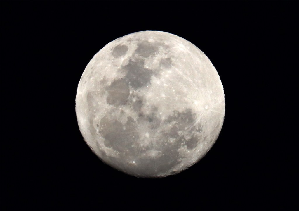
The moon is nearly full … or is it just a phase its going through?
